
| Location | Bike | Date | Distance Travelled |
Number of rides |
Description |
| Dicky Beach | Giant 29er | July 2017 | 237.40km | 7 | Dicky Beach - (Beach Dve to Point Cartwright Lighthouse) x 2 usually around 20degs. |
| Dicky Beach | Giant Boulder | July 2016 | 977.40km | 22 | Dicky Beach - (Beach Dve to Point Cartwright Lighthouse) x 2 usually around 20degs. |
| Dicky Beach | Giant Boulder | July 2015 | 944.60km | 22 | Dicky Beach - (Beach Dve to Point Cartwright Lighthouse) x 2 usually around 20degs. |
| Dicky Beach | Merida Dakar 660 | July 2014 | 863.65km | 26 | Dicky Beach - (Beach Dve to Point Cartwright Lighthouse) x 2 usually around 20degs. |
| Dicky Beach | Merida Dakar 660 | July 2013 | 780.29km | 23 | Dicky Beach - (Beach Dve to Point Cartwright Lighthouse) x 2 usually around 20degs. |
| Dicky Beach | Merida dakar 660 | July 2012 | 571.21km | 17 | Dicky Beach - (Beach Dve to Point Cartwright Lighthouse) x 2 usually around 20degs. |
| Dicky Beach | Merida Dakar 660 | July 2011 | 75.03km | 3 | Dicky Beach - (Beach Dve to Point Cartwright Lighthouse) x 2 usually around 20degs. |
| Total kms ridden: | 4,449.58kms | 120 |
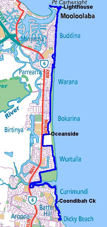
This is a breakdown of my normal bike route from Dicky Beach to Point Cartwright Lighthouse/The Spit and return.
A total of 46.8kms.
Your typical sunny morning.
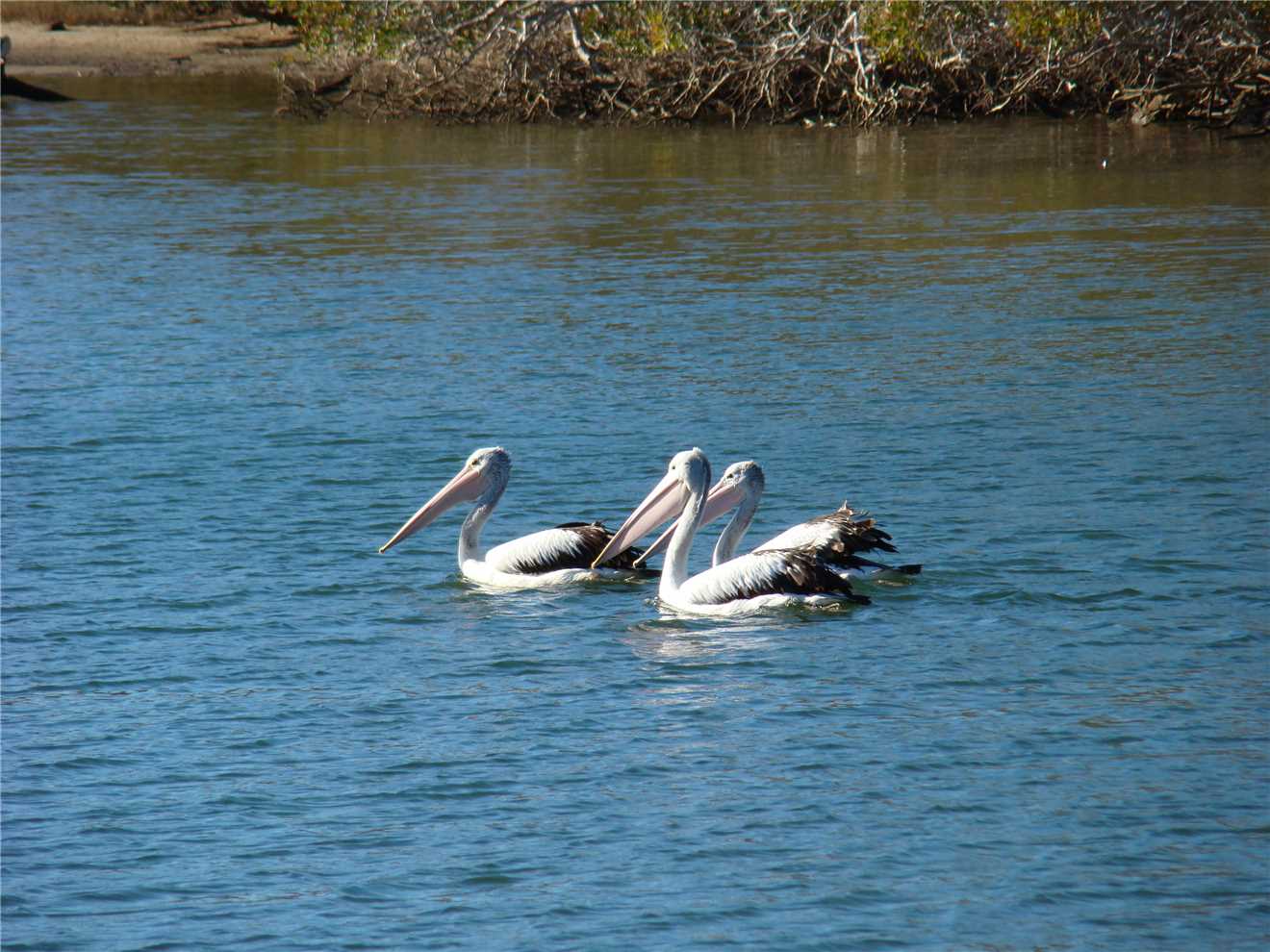
Georges are always nearby to welcome me.
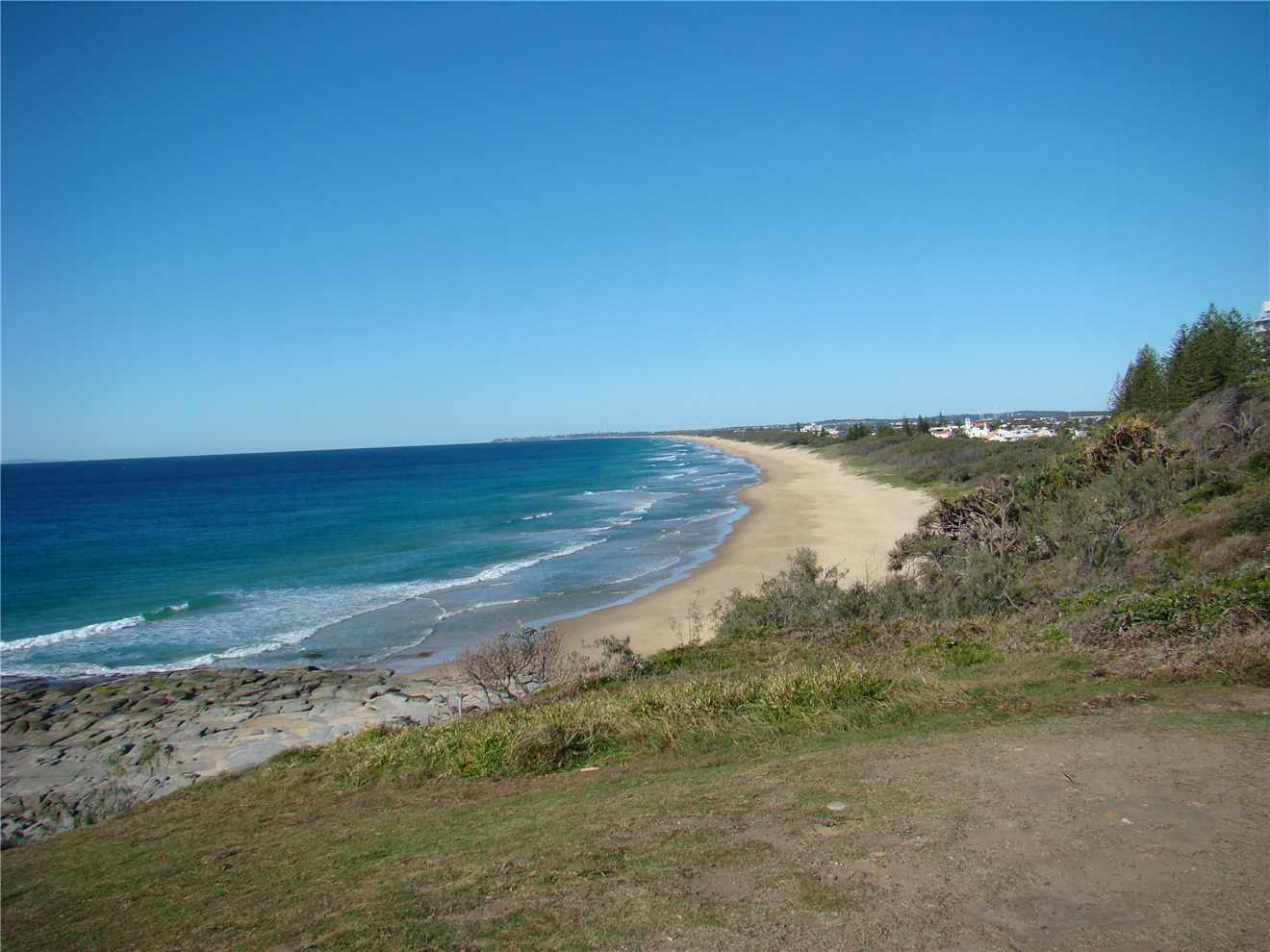
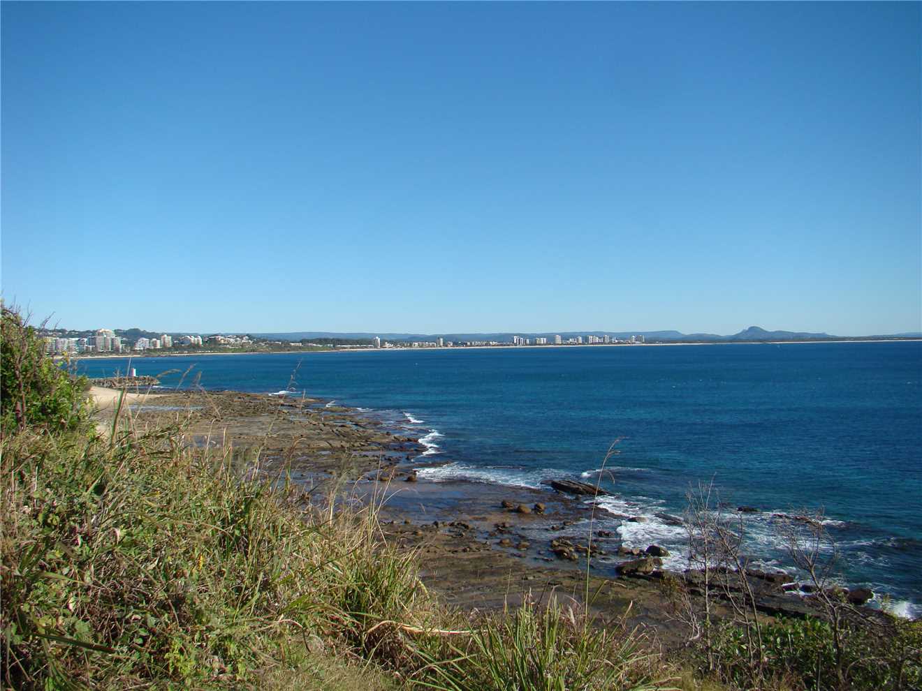
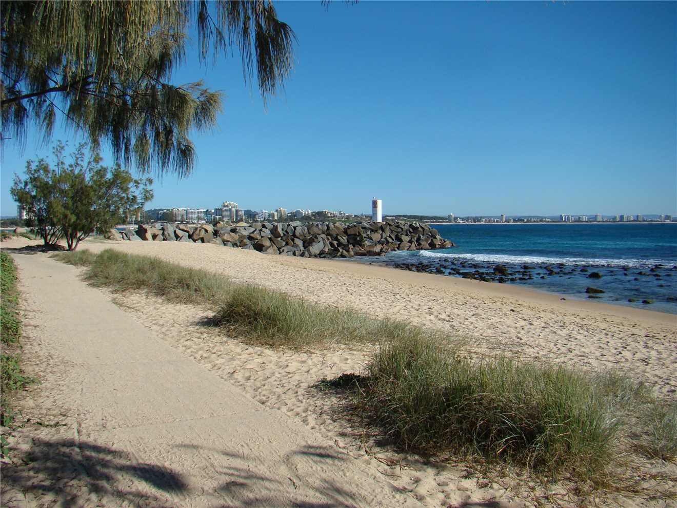
At Point Cartwright looking towards Caloundra.
At Point Cartwright looking towards Caloundra.
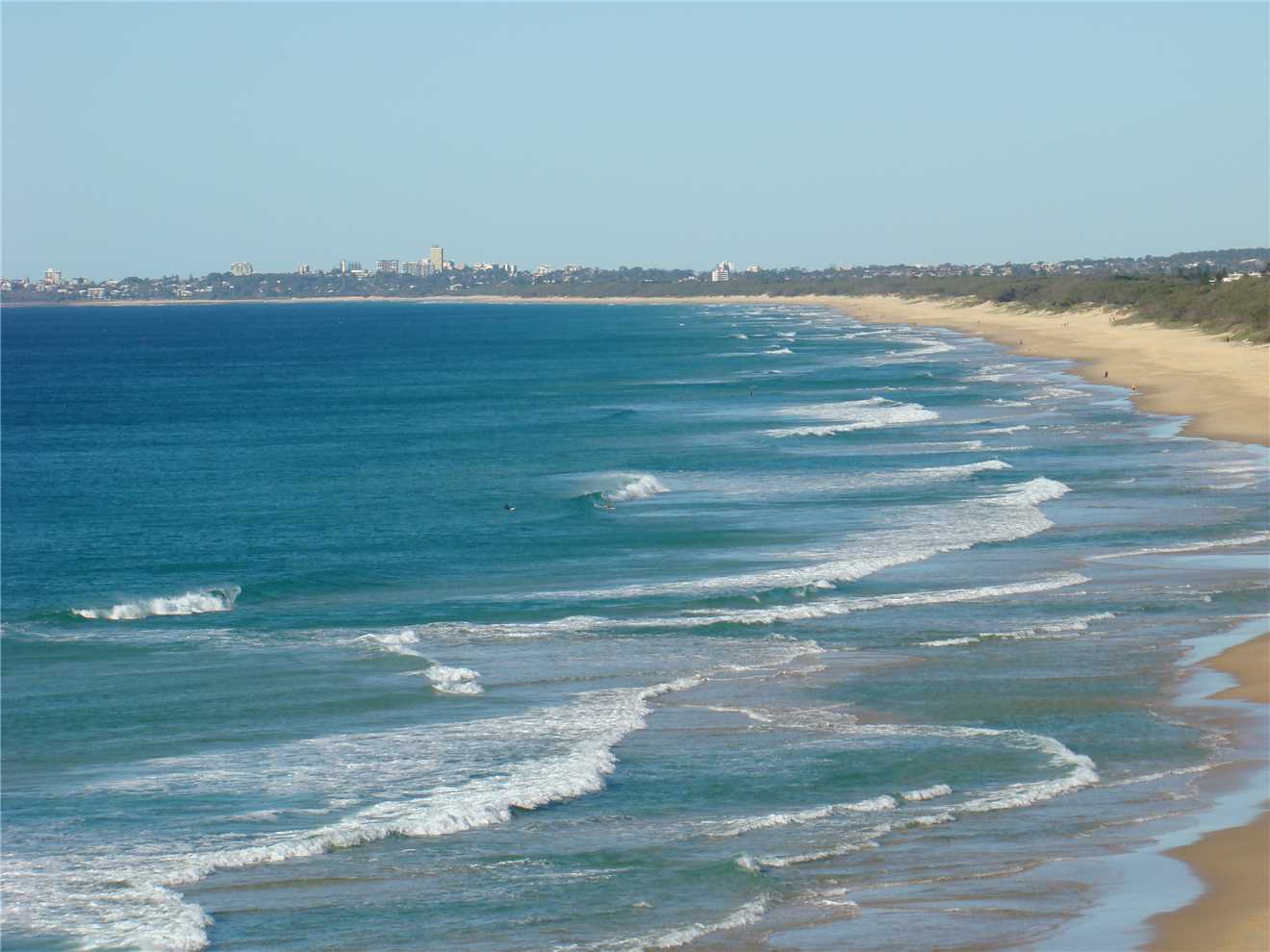
Looking towards Alexandra Headland.
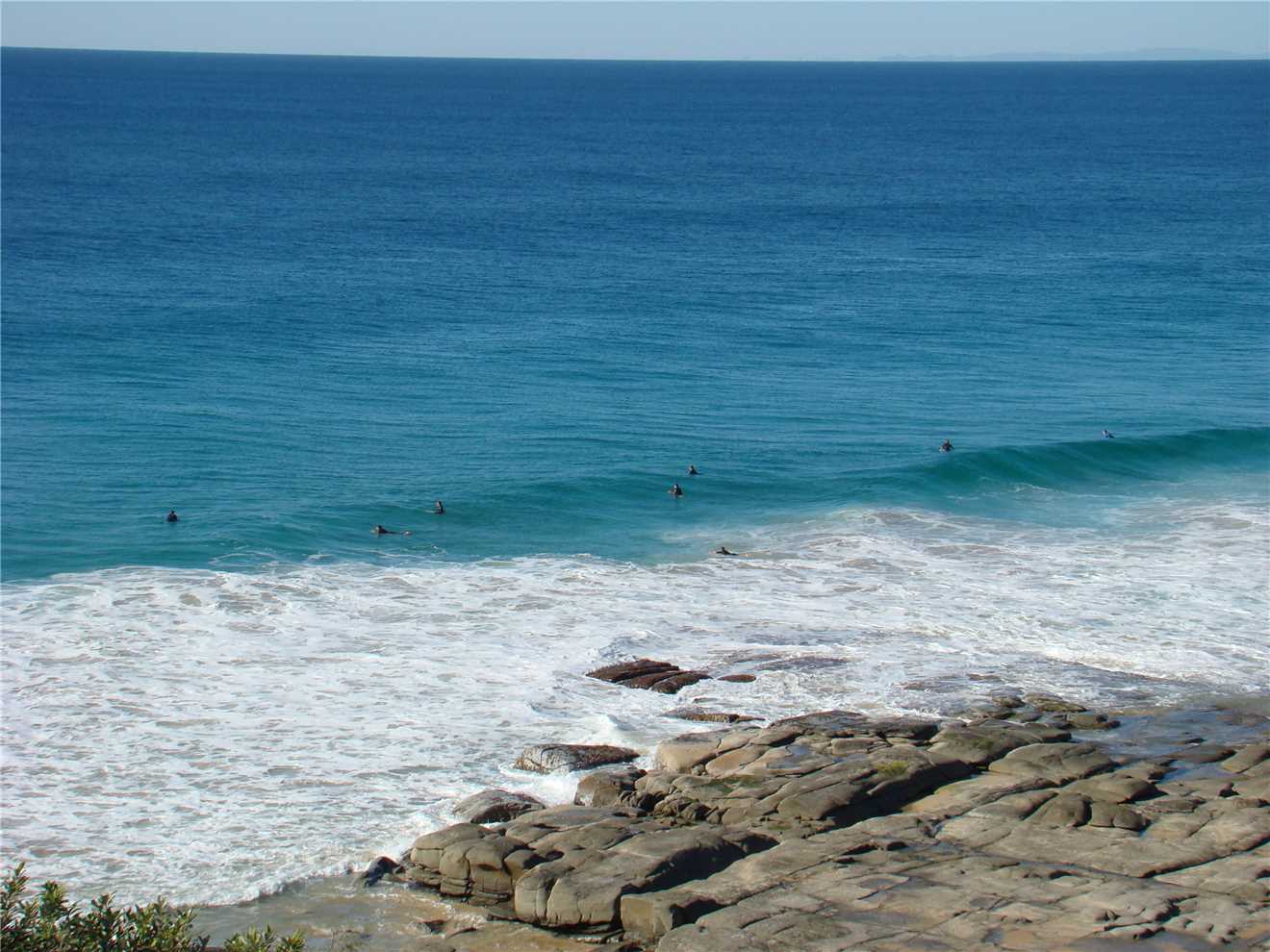
Thursday must be a surfers holiday.
The highlight of my Dicky Beach riding, was spotting the whales.
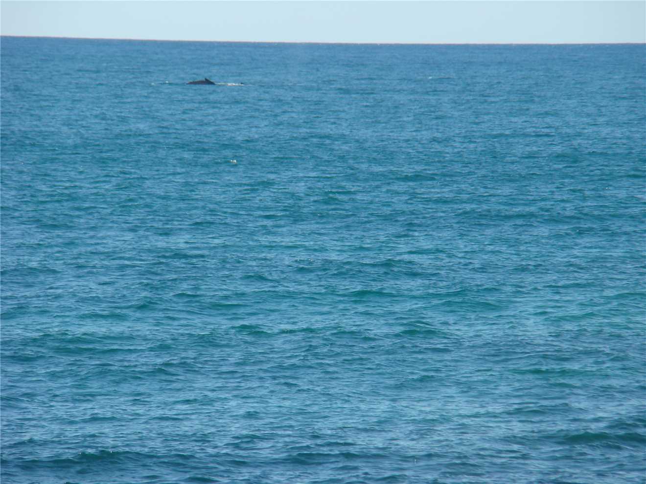
The whales, first noticed while at the Beacon.
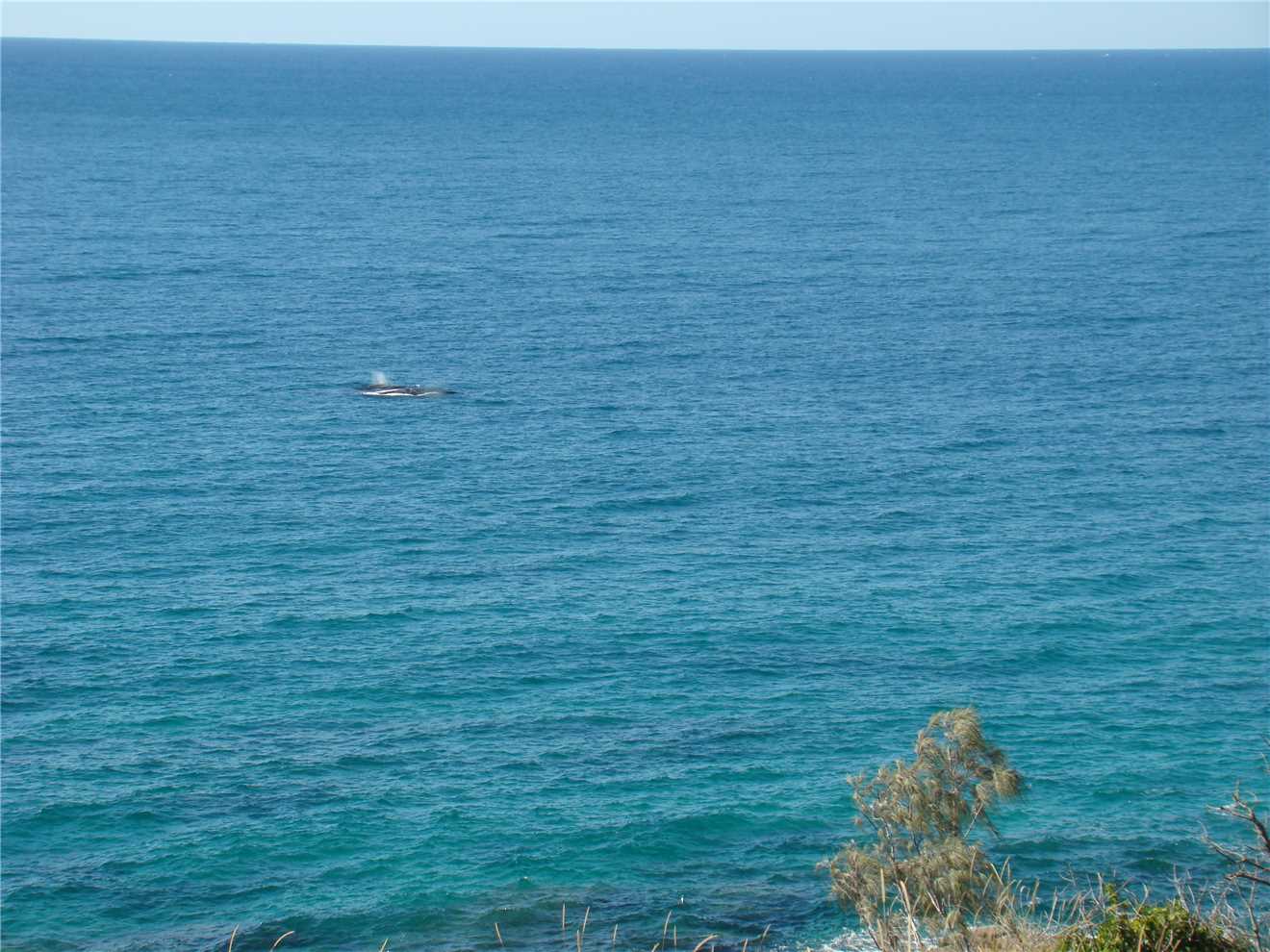
Taken from the Lighthouse bluff.
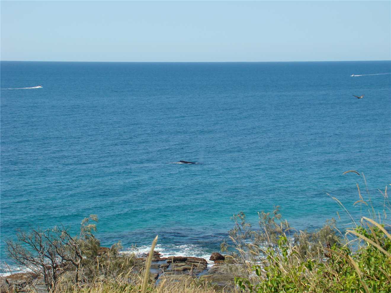
Taken from the Lighthouse bluff, about 50 meters offshore.
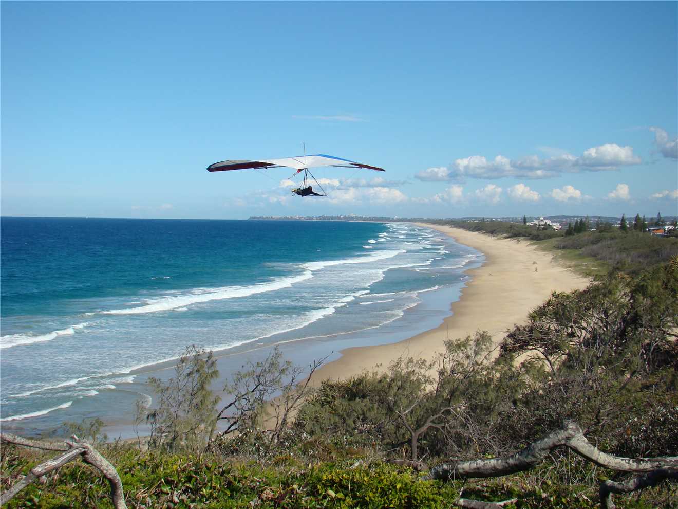
The Birdman of Point Cartwright.
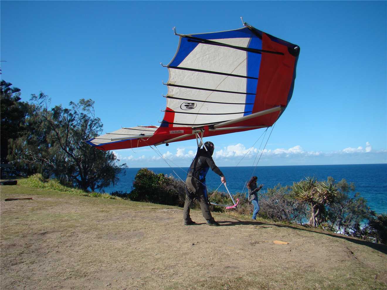
Just about to get airborne.
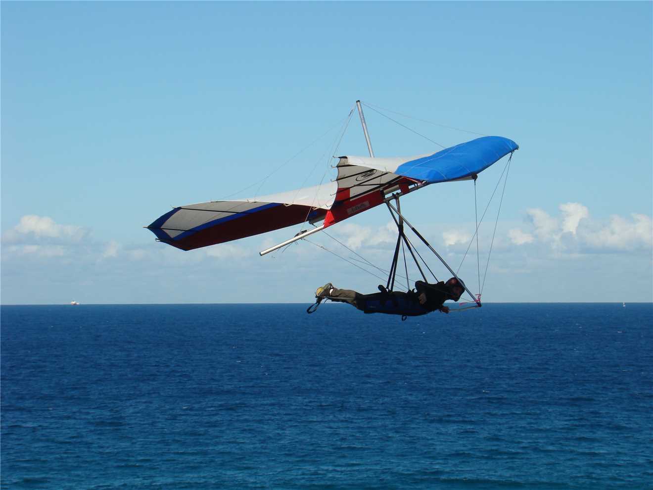
He flew up and back many times.
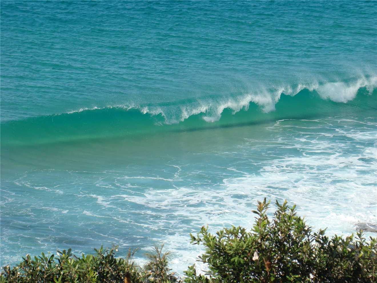
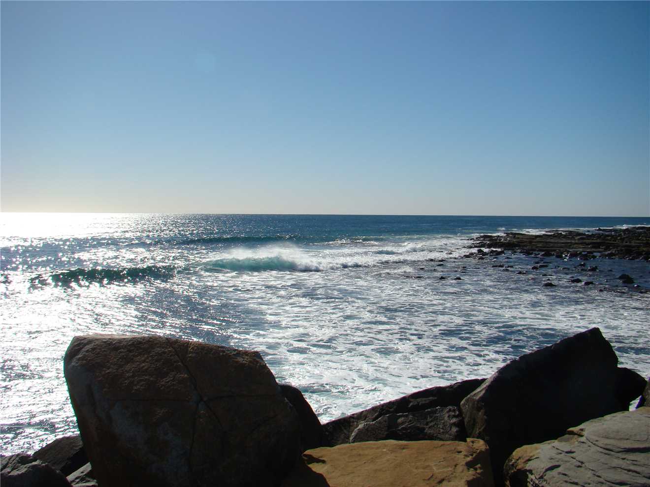
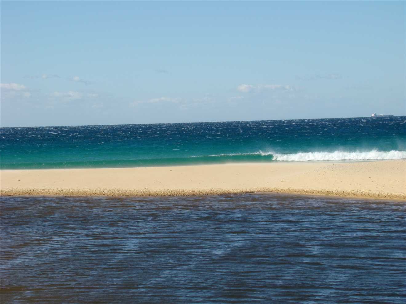
How nice are these waves.
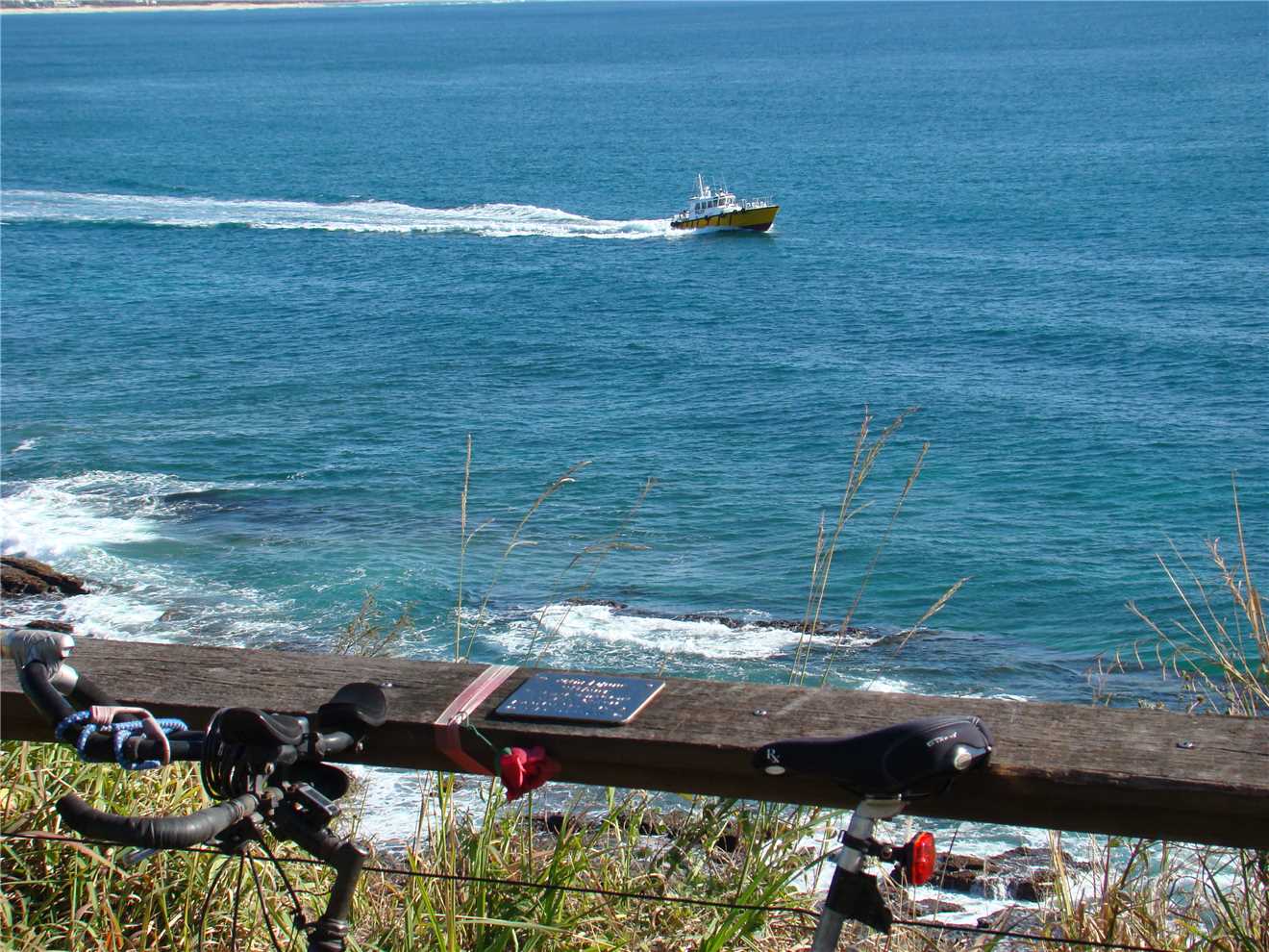
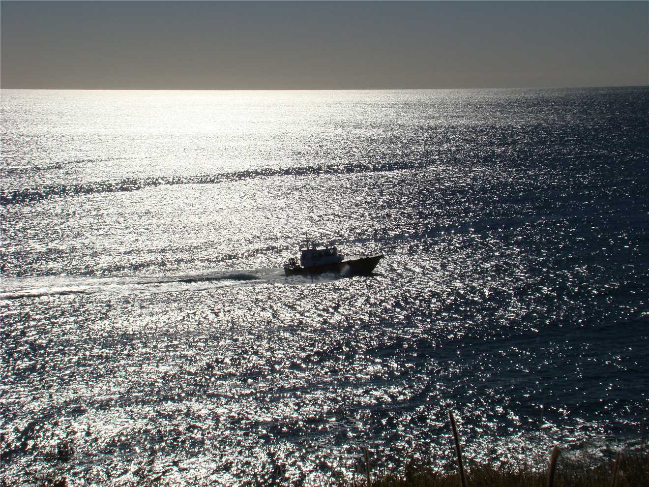
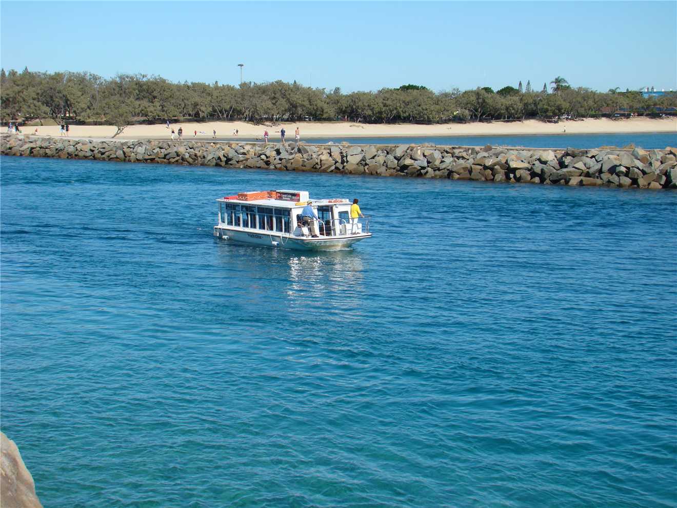
The Pilot boat leaves Mooloolaba.
Another beautiful morning in 'sunny' QLD.
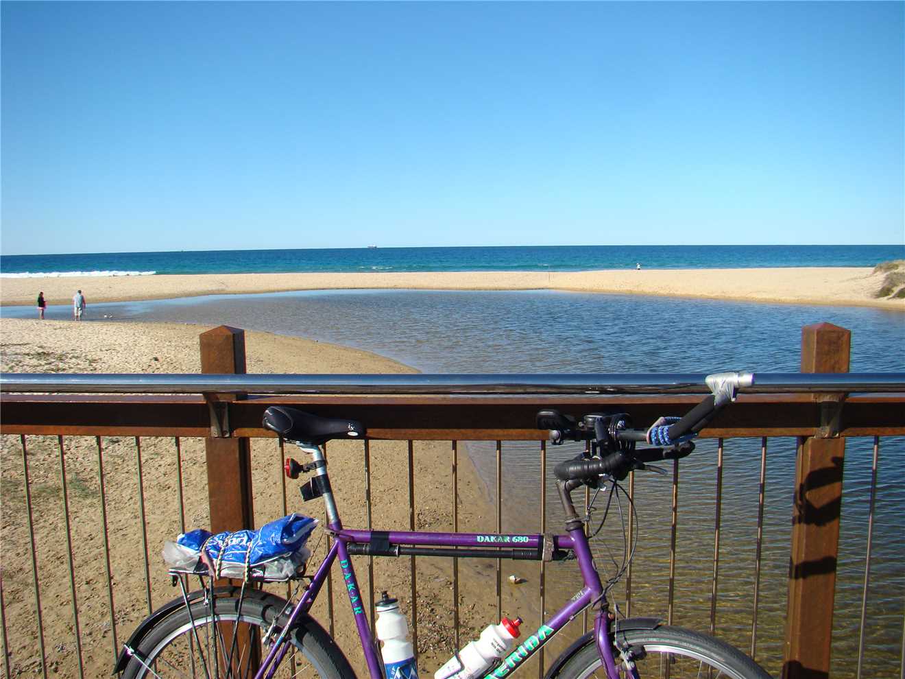
My turnaround beacon at the end of the Mooloolah river at Mooloolaba.
The wind was blowing offshore, holding up the waves. Very pretty.
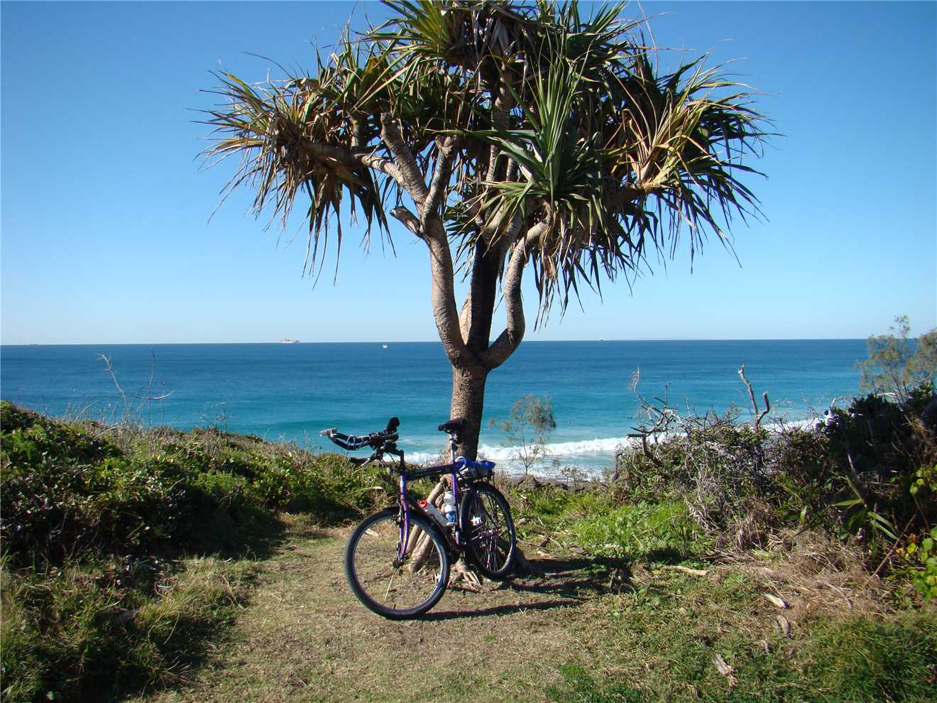
Pandanus trees are very common along the coastal paths.
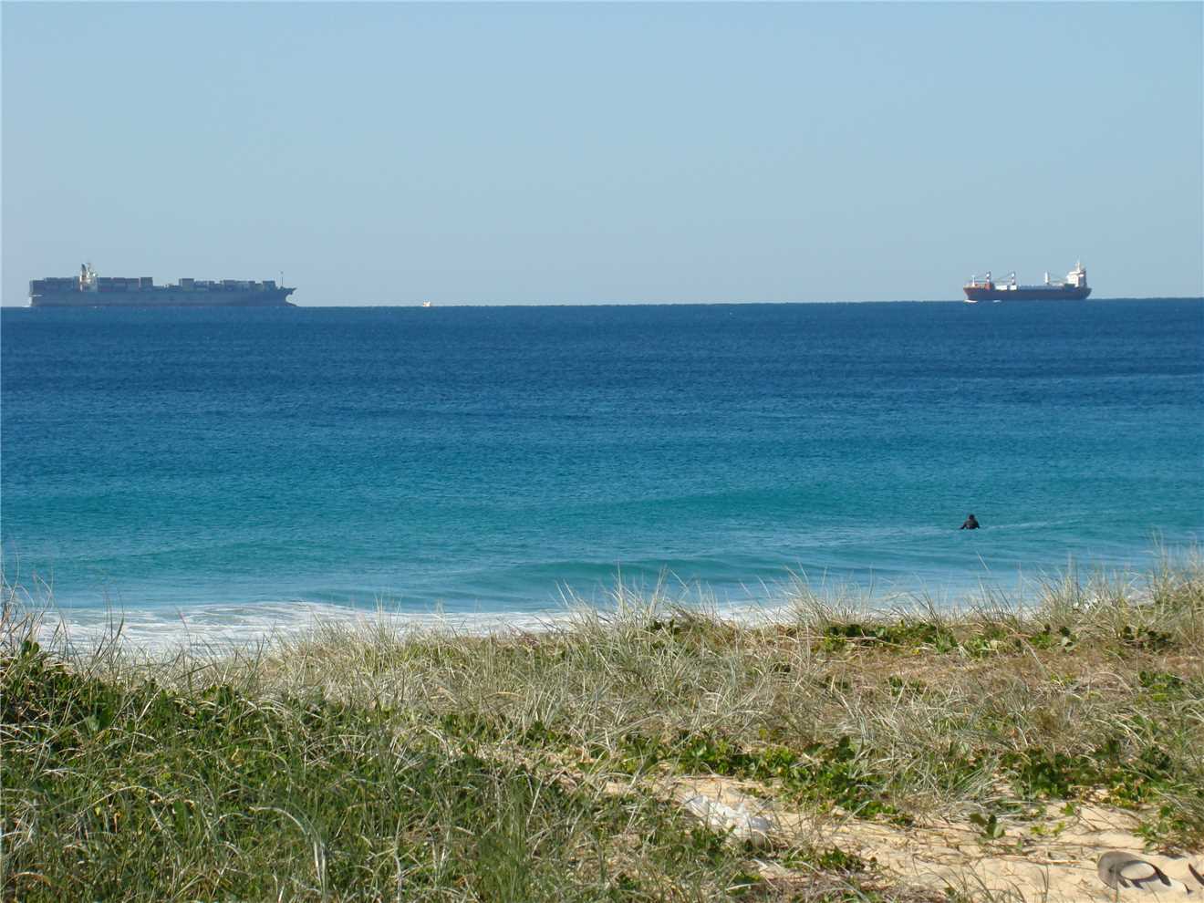
2 ships about to crash headon. Maybe not.
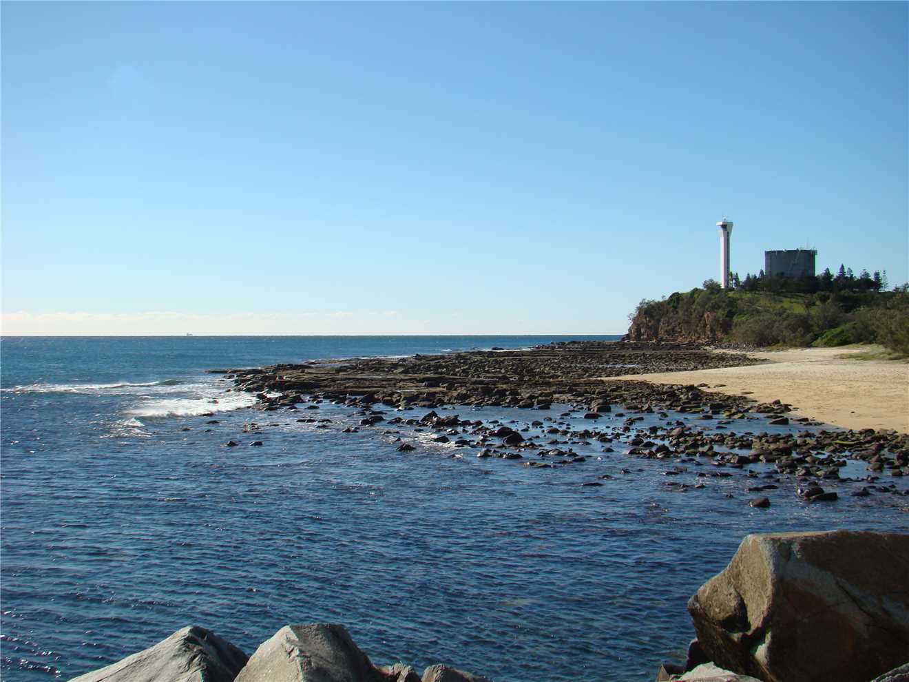
From the mouth of the Mooloolah river looking at Point Cartwright.

Looking towards Mooloolaba.
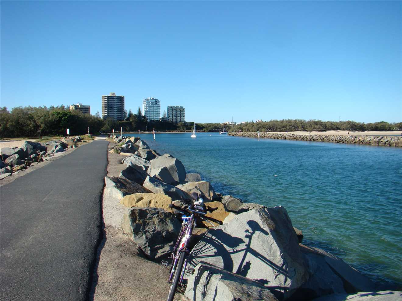
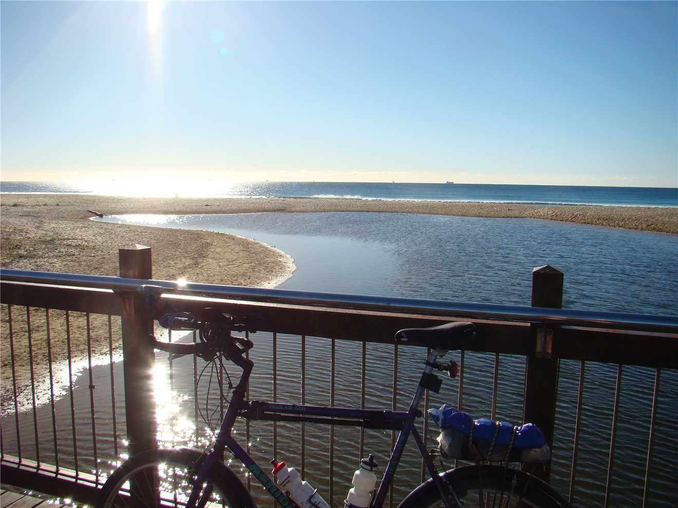
My trusty treadley at the mouth of the Mooloolah river.
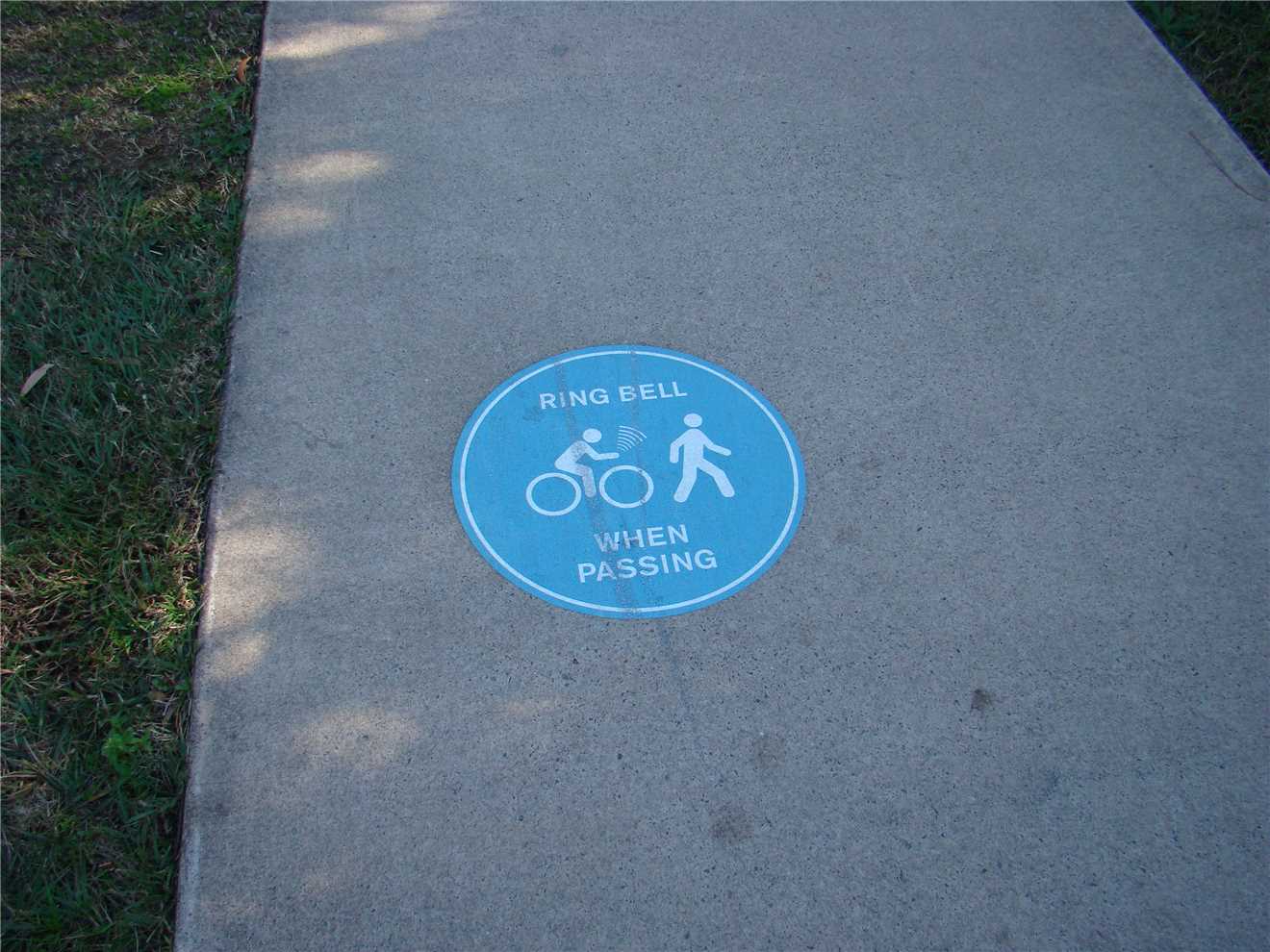
I saw this sign on the shared paths.
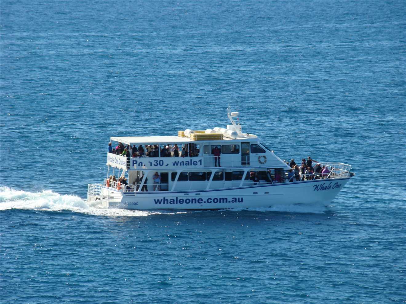
The whale watchers are off into the 'wild' blue yonder.
This dude never got past the mouth, he turned around. Smart decision.
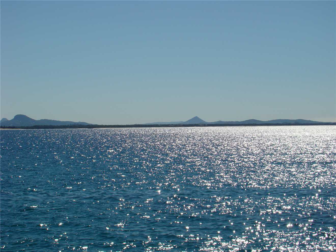
Just another magic shot, looking towards Noosa.
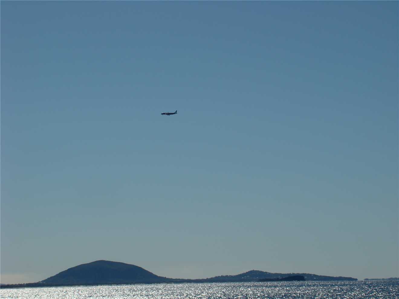
A plane arriving on the Sunshine Coast.
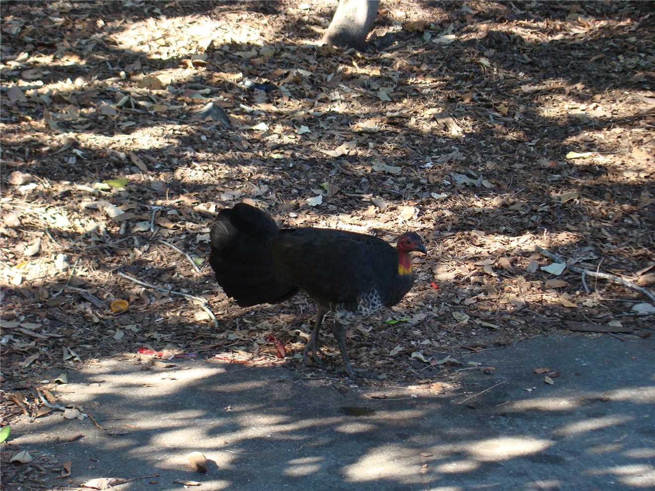
I had to stop for this dude.
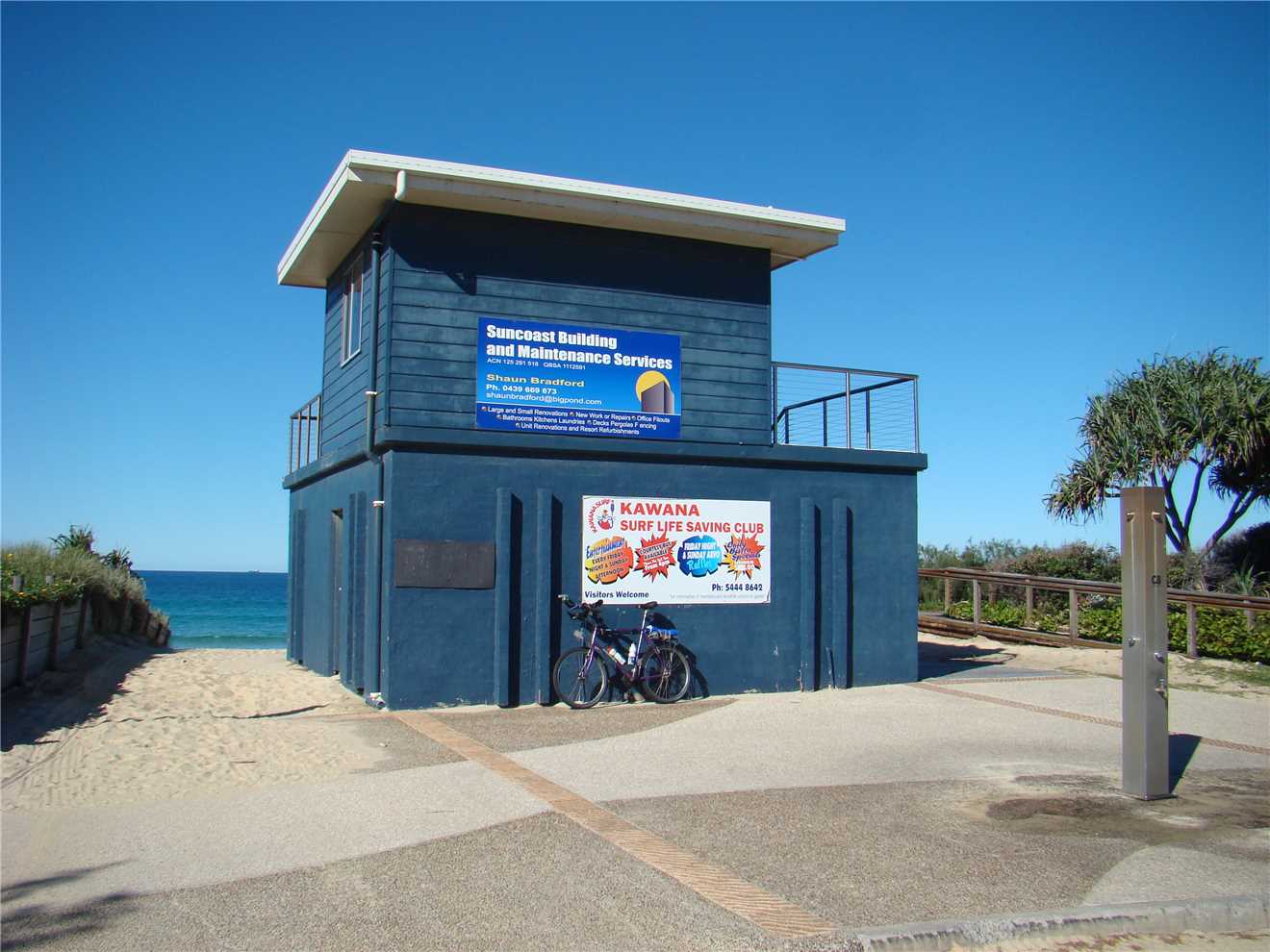
Kawana SLSC.
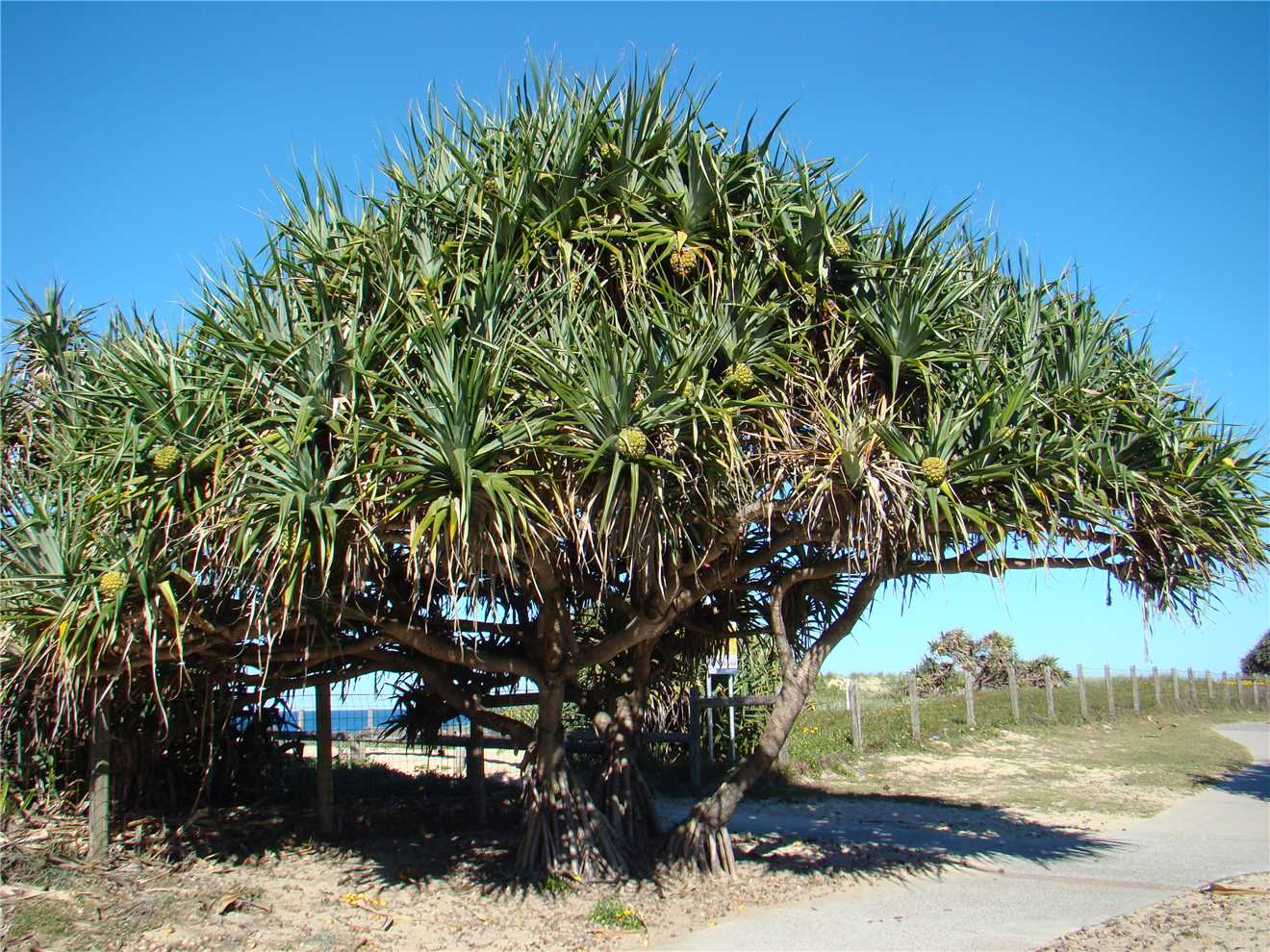
A pandanus tree with heaps of fruit.
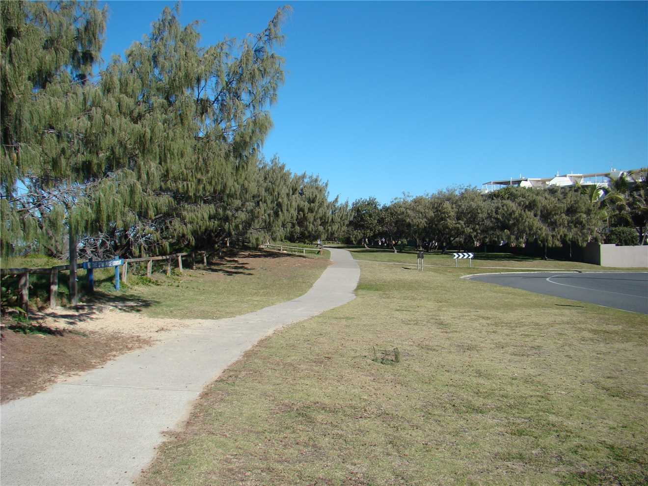
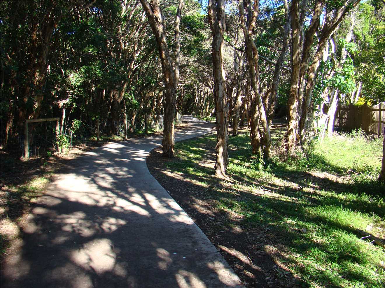
Part of the shared path.
Shared path in 2012. (no concrete just dirt).
Same path in 2014 - concrete was laid when I was here this time last year. Very smooth to ride on.
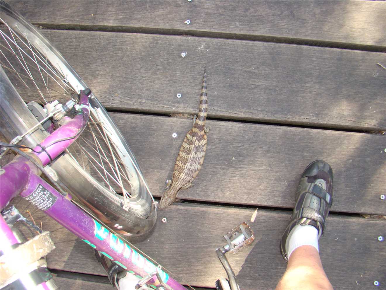
I was nearly 'killed' by this Attack Blue Tongue lizard that brought me to a stop.
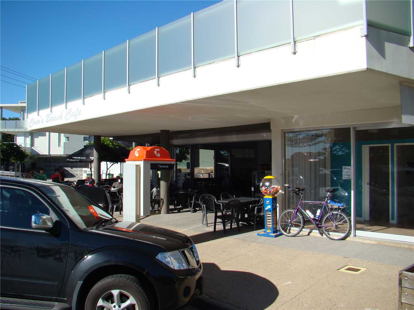
My stress has left me. Coco'c Beach cafe is ready for me.
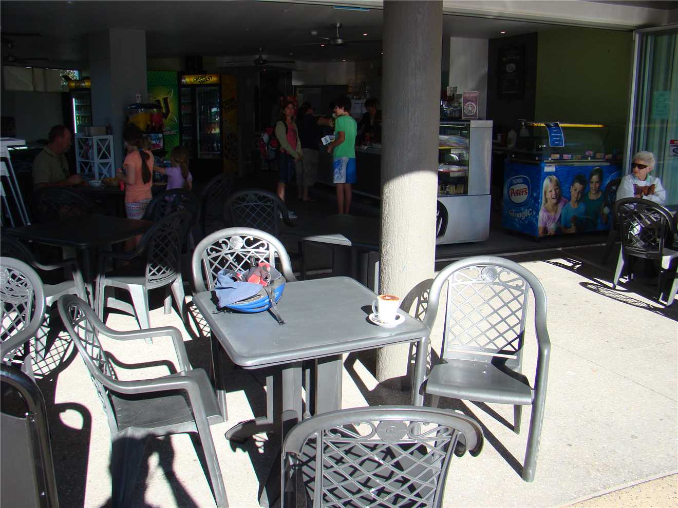
I had to 'fight' for a table. Maybe not.
Nearly home, another 'pearler' of a day.
The sand is blowing everywhere, the waves are being held up by the strong offshore breeze.
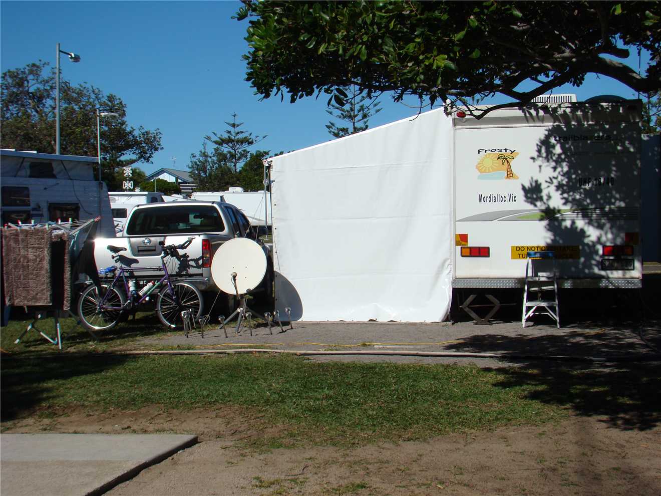
Our camp at Dicky Beach.
A Pictorial of my ride on Friday 17th July 2015.
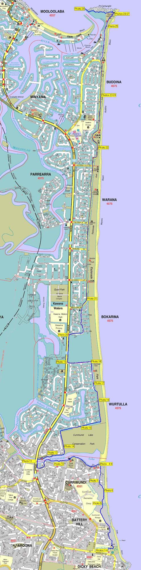
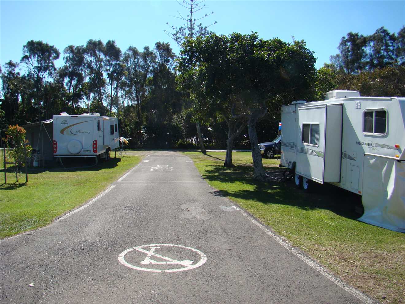
Photo 1
The start - Our van is on the right.
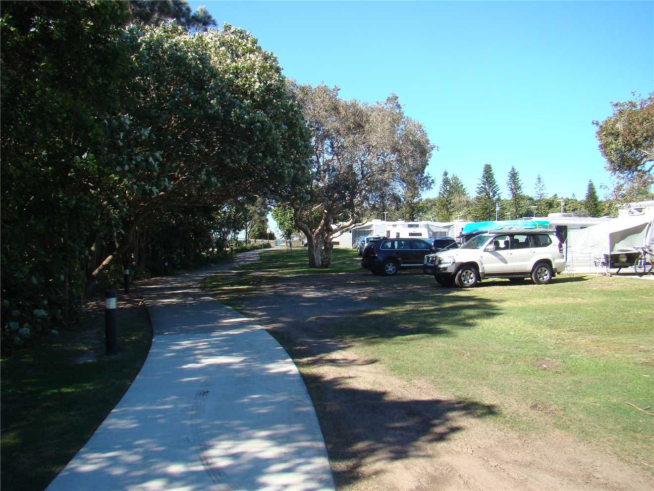
Photo 2
The shared path through our Caravan Park.
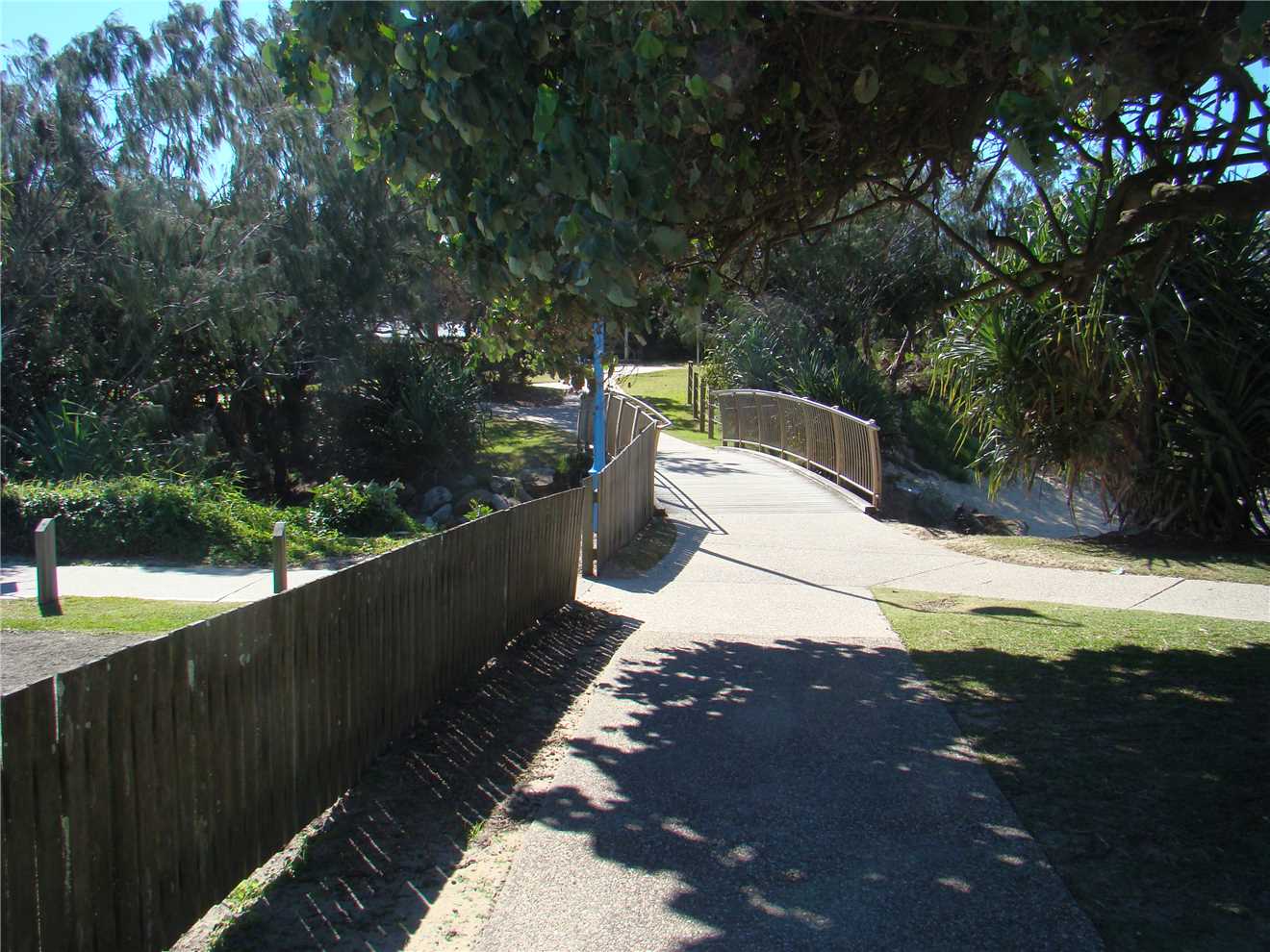
Photo 3
Left is the CP and turn over the bridge and away.
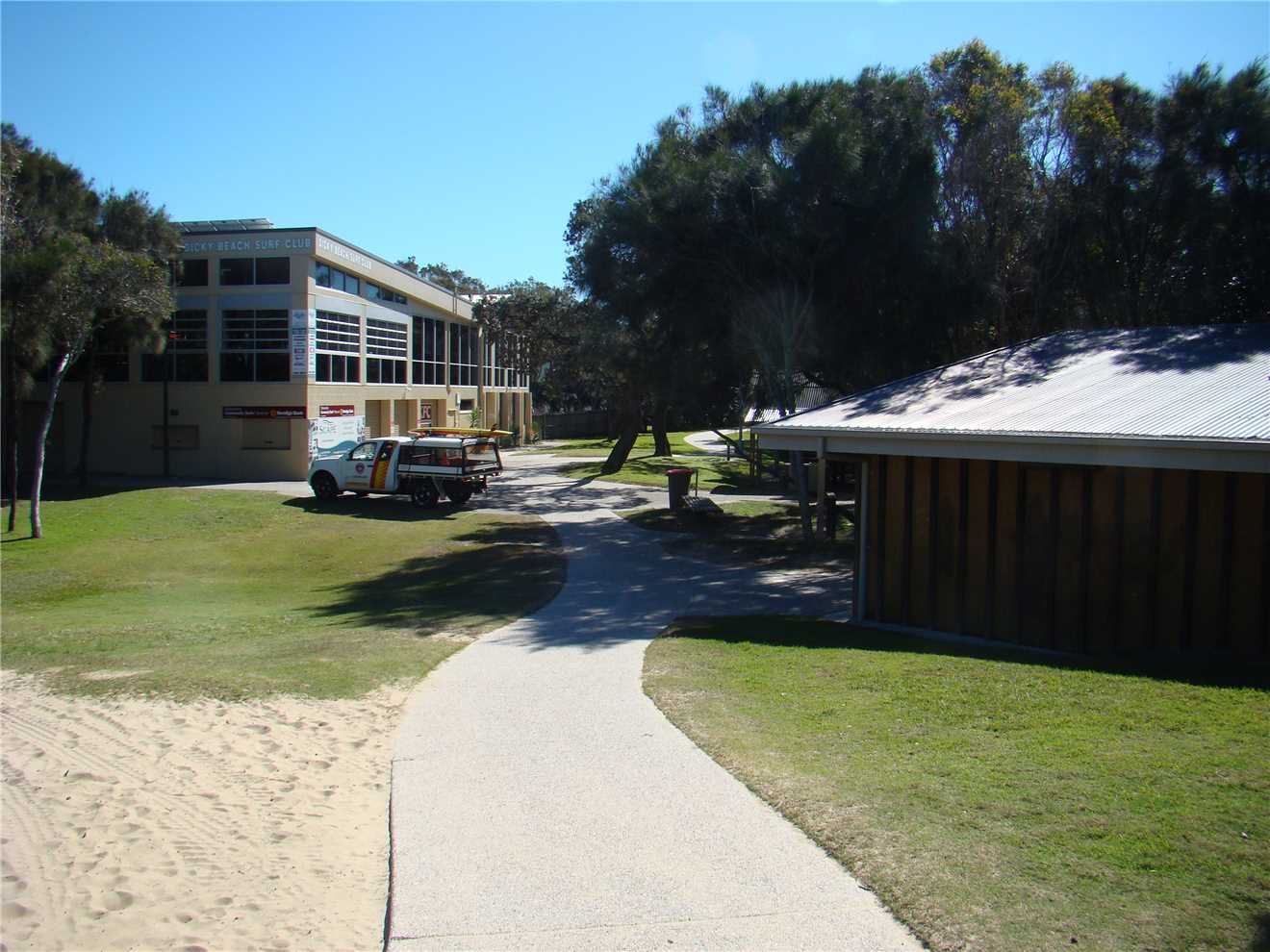
Photo 4
Through Dicky Beach Surf Life Saving Club.
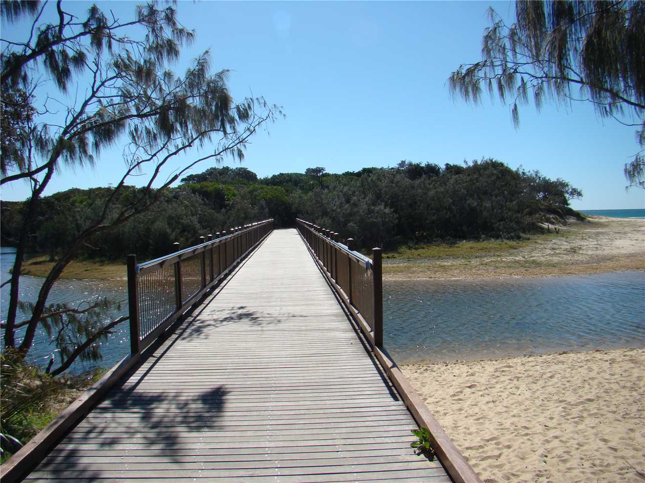
Photo 5
This bridge features in a lot of my photos.
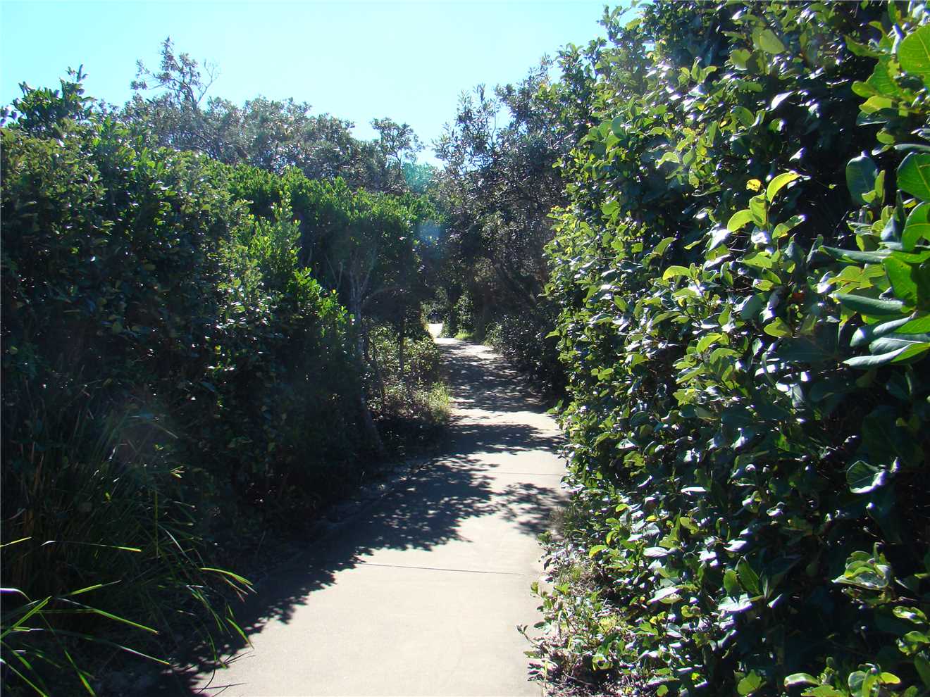
Photo 6
Through the shared path, nearly overgrown.
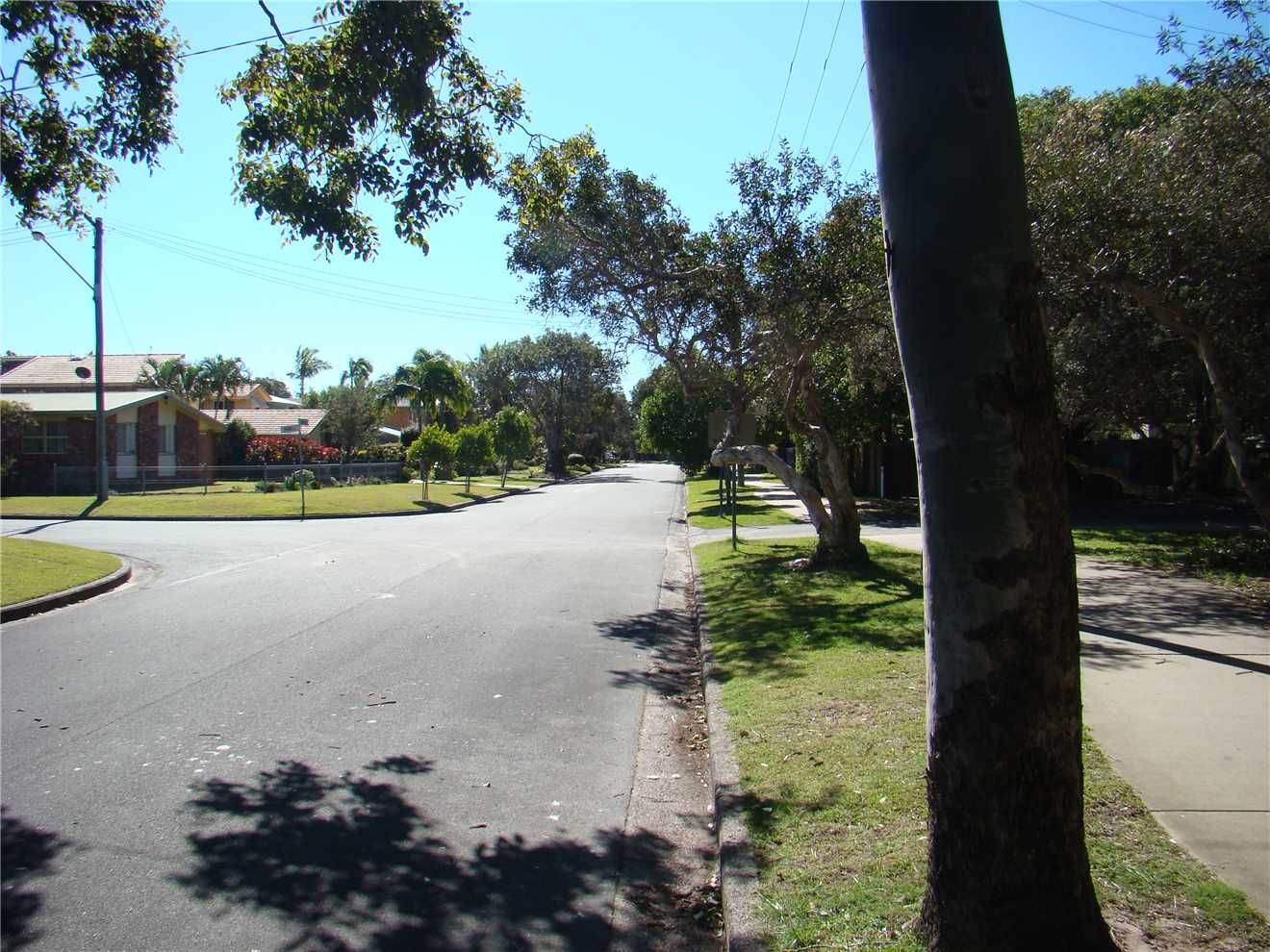
Photo 7
Heading towards Currimundi lake.
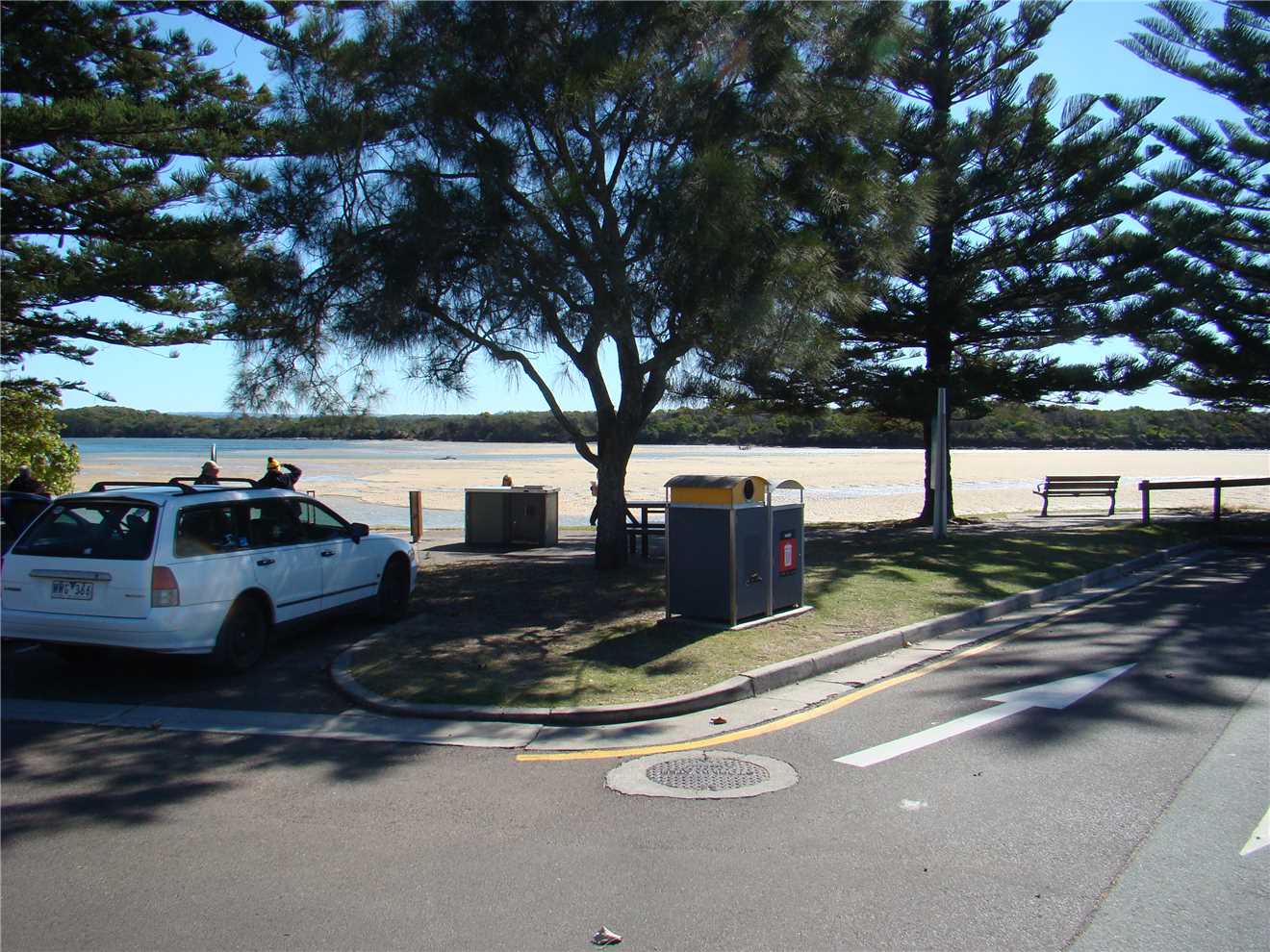
Photo 8
The sandbank at low tide in Currimundi lake.

Photo 9
Past Coco's cafe on the left at Currimundi Lake.
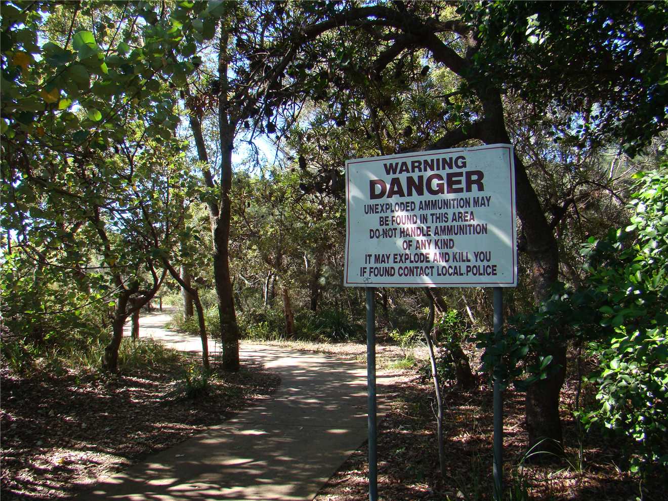
Photo 10
It pays to stay on the shared path OR Kaboom.
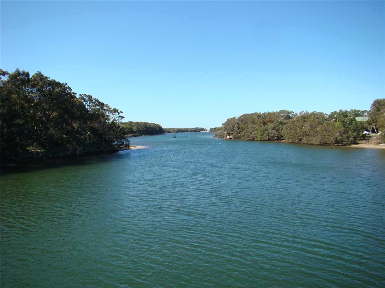
Photo 11
Currimundi Lake from the Nicklin Way bridge.
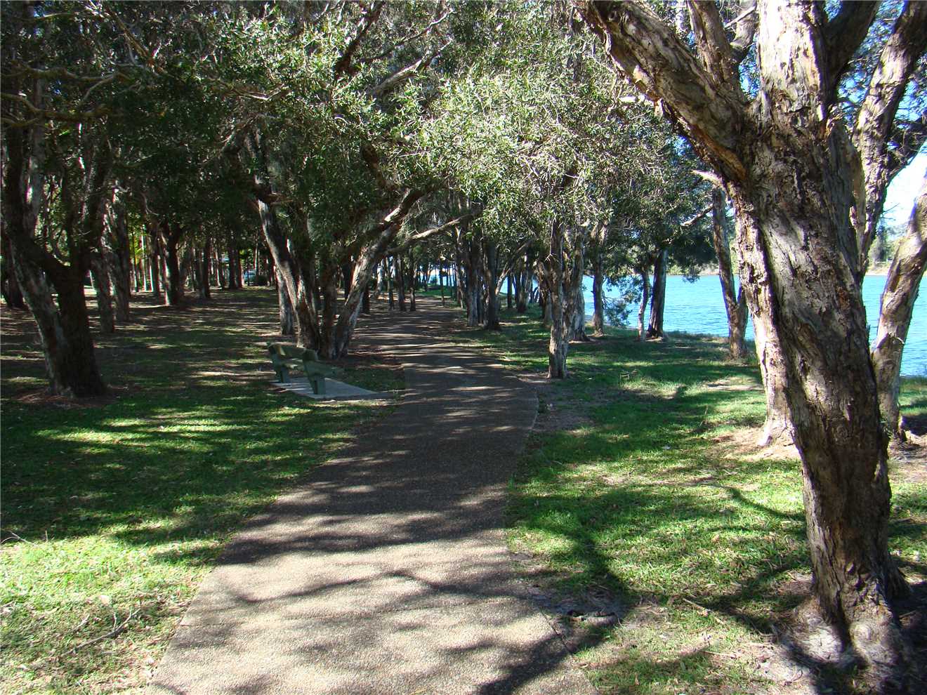
Photo 13
The shared path beside the north edge of the Lake.
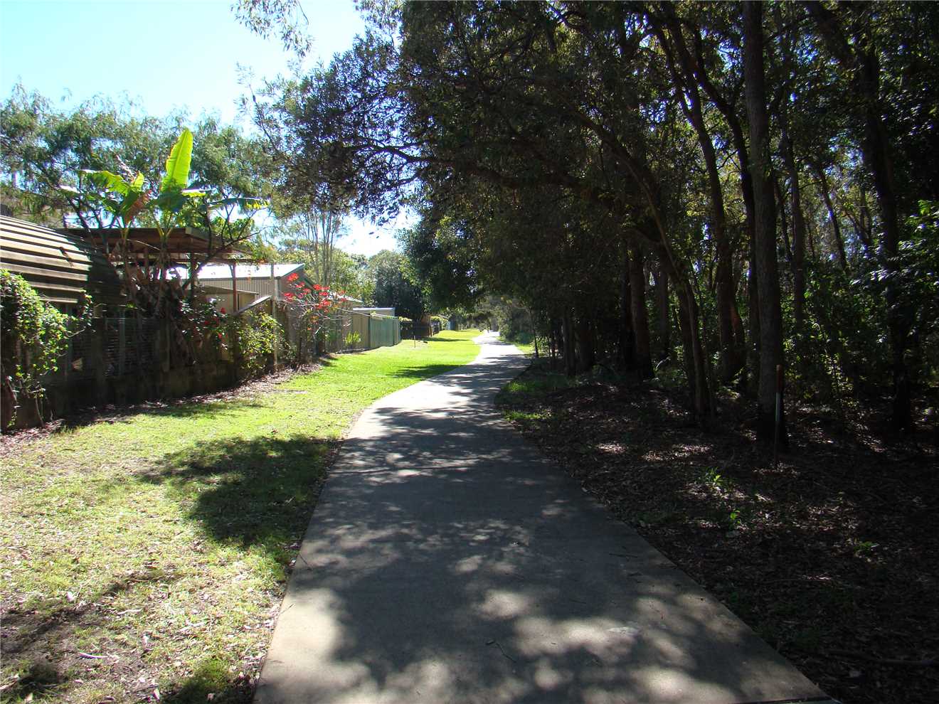
Photo 14
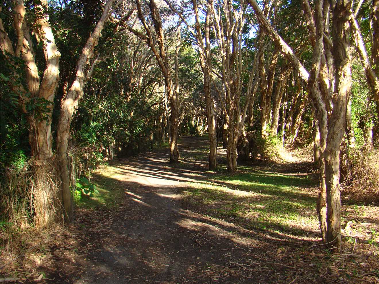
Heading North beside the Conservation Park.
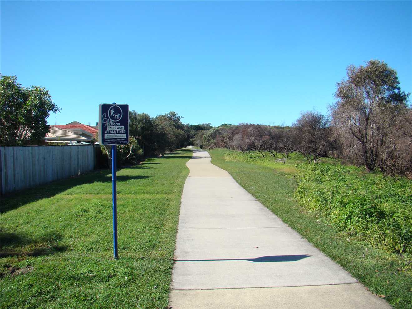
Photo 15
Heading East beside the Conservation Park.
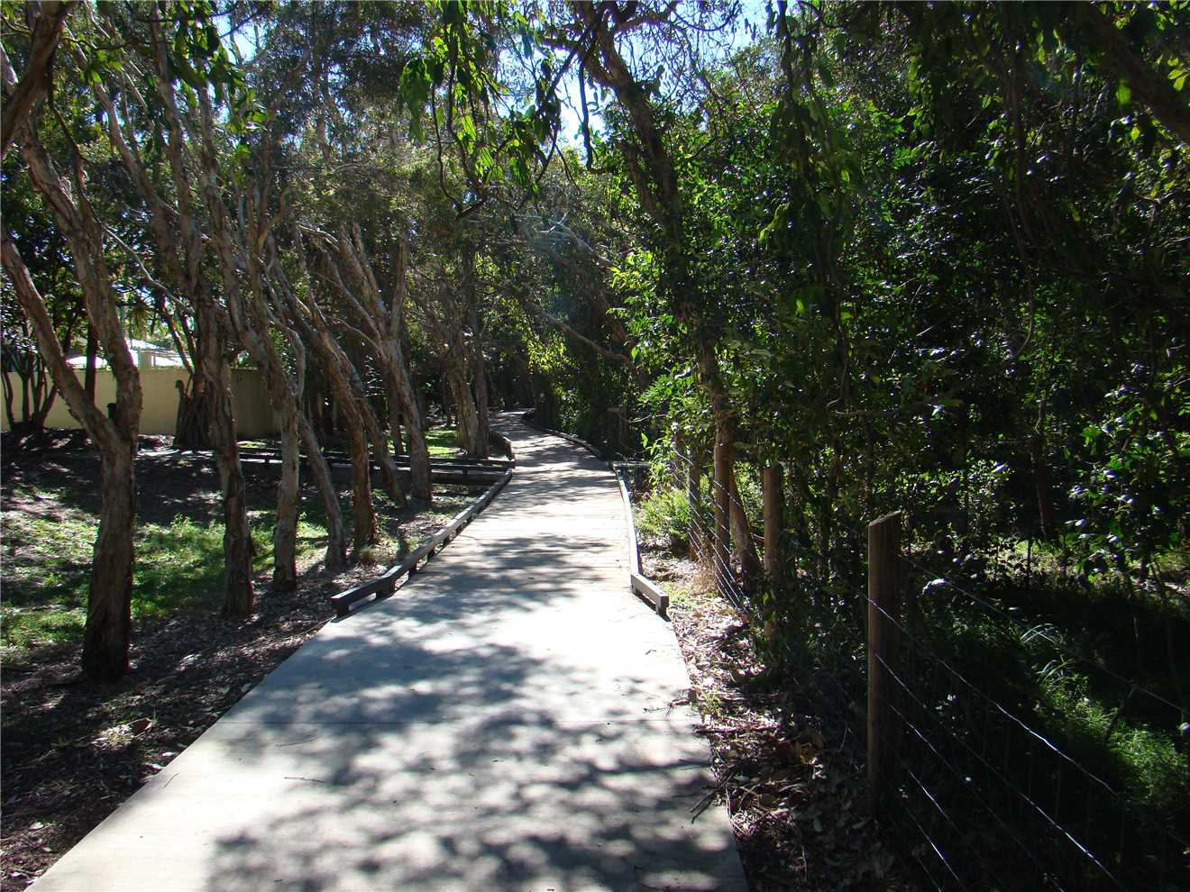
Photo 16
This path was sealed last year.
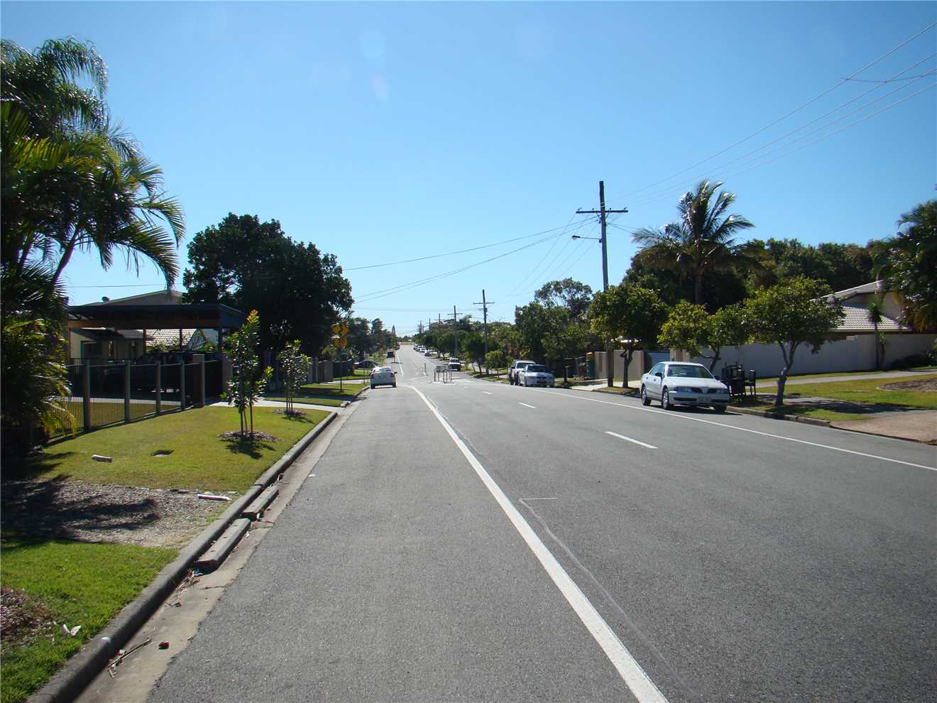
Photo 17
Heading North along Oceanic Dve South.
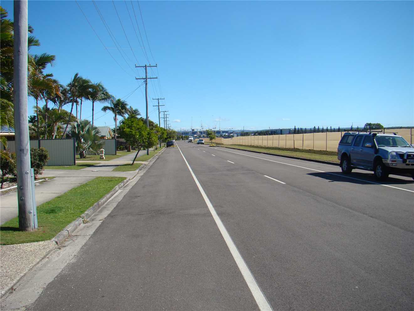
Photo 18
Heading West to Nicklin Way.
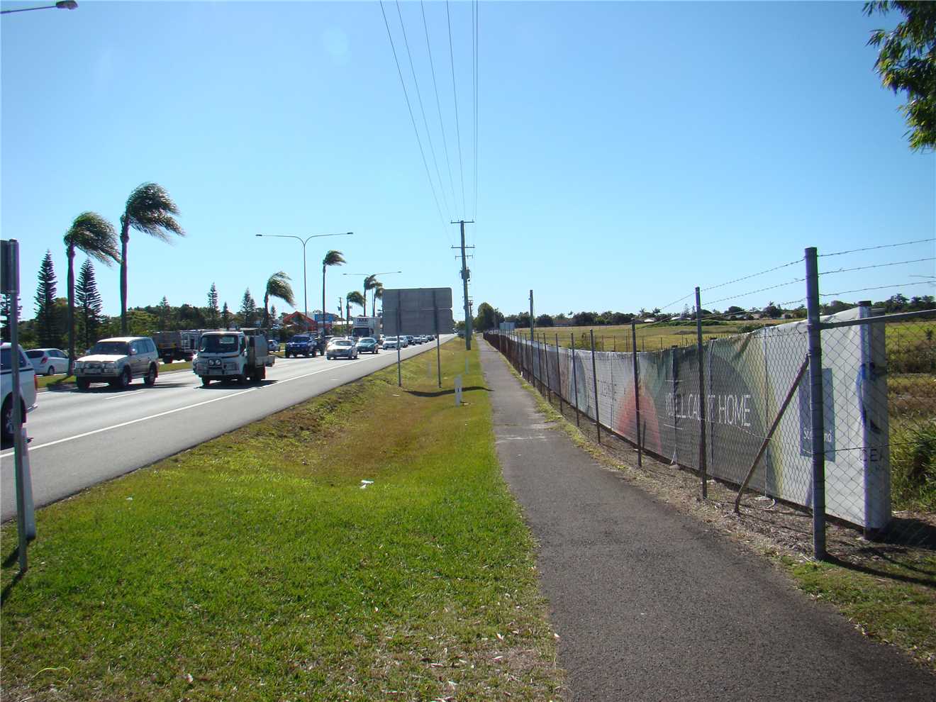
Photo 19
Heading North on the shared path beside Nicklin Way.
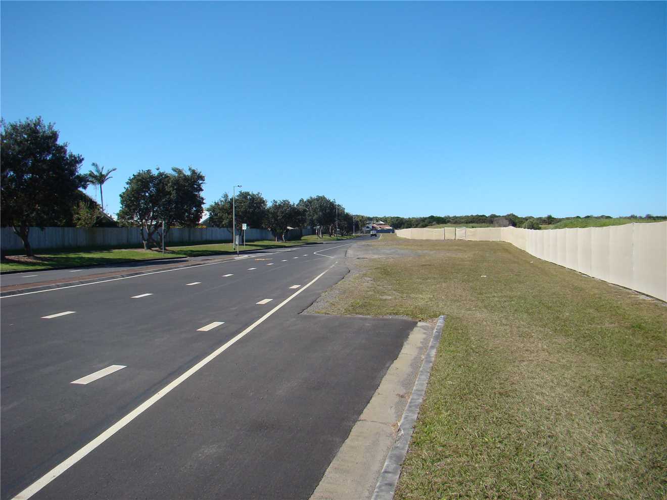
Photo 20
Heading East along Beach Dve.
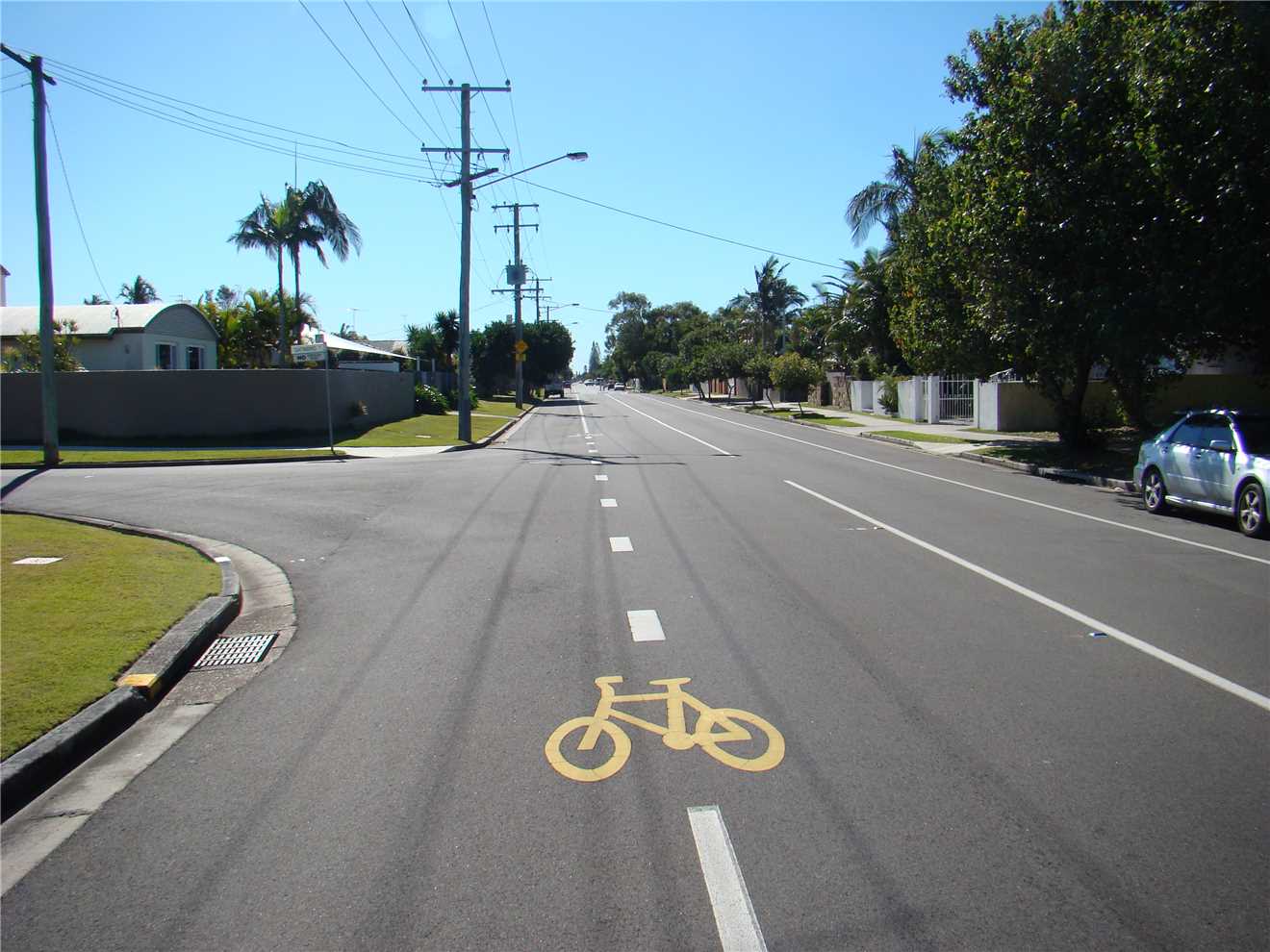
Photo 21
Heading North along Oceanic Dve North.
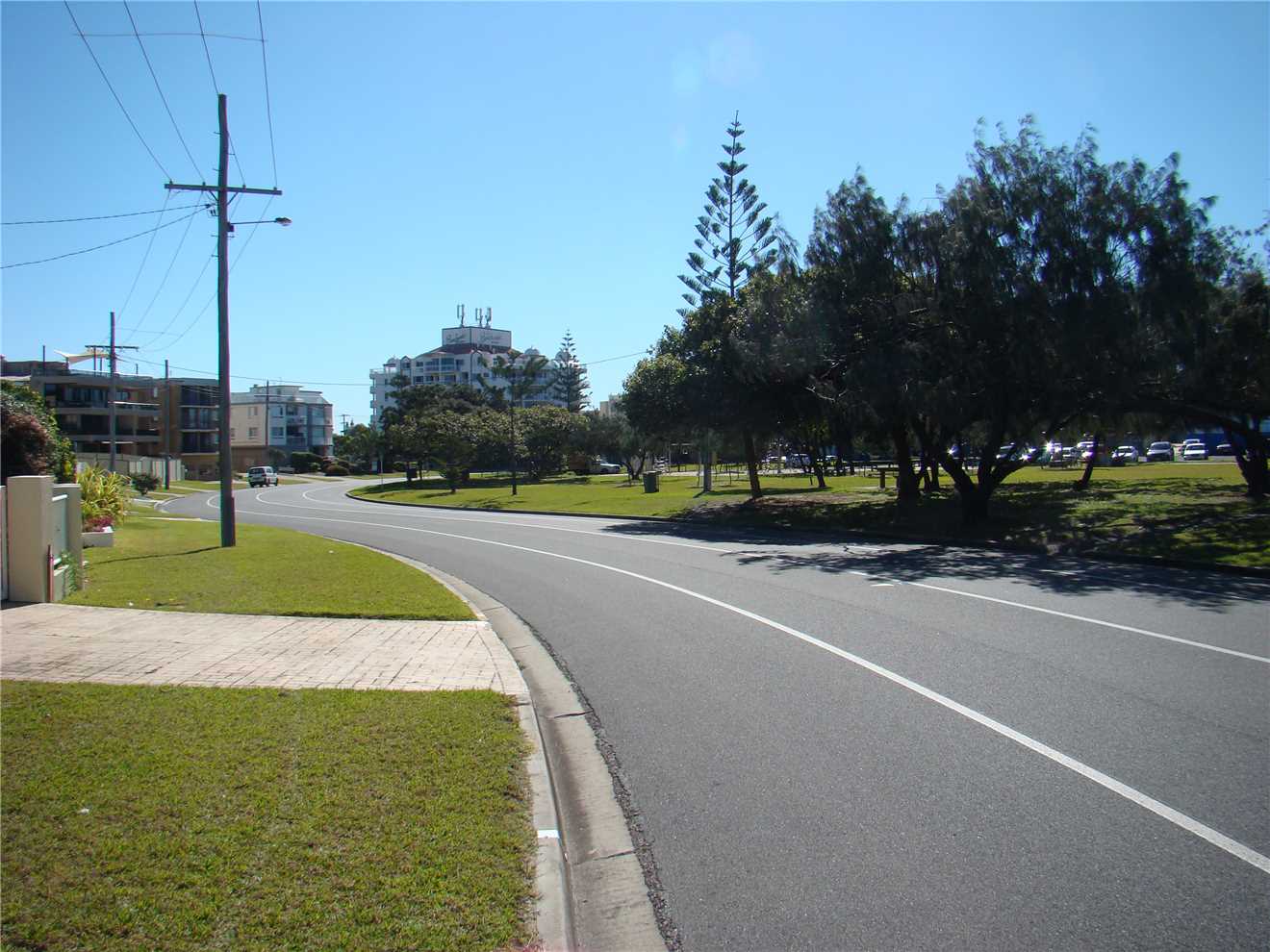
Photo 22
Approaching Kawana SLSC.
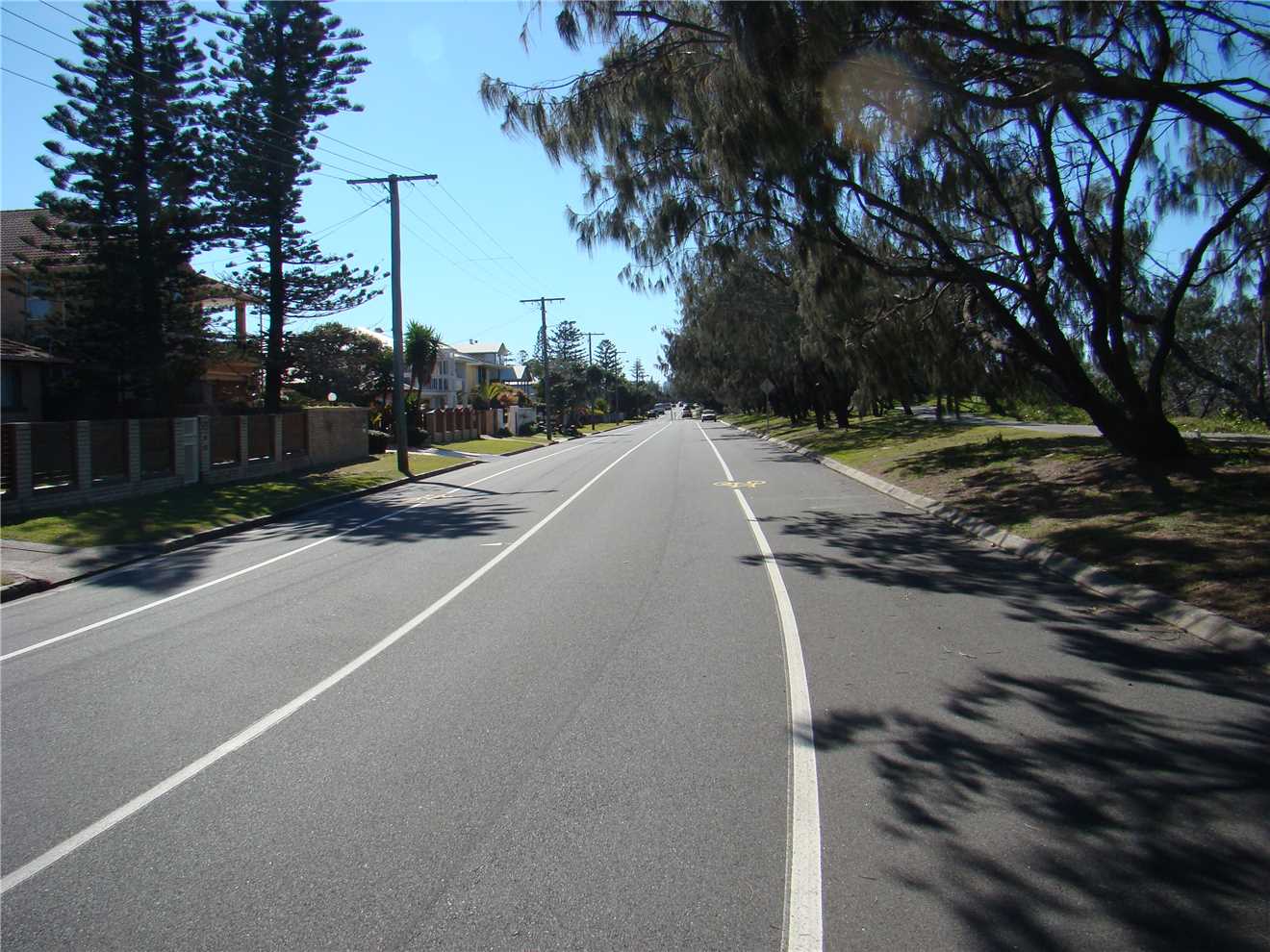
Photo 23
Heading North along Pacific Blvd.
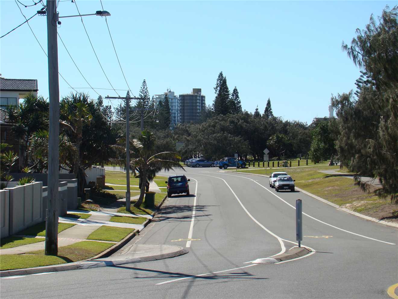
Photo 24
Heading for those High Rise in the distance.
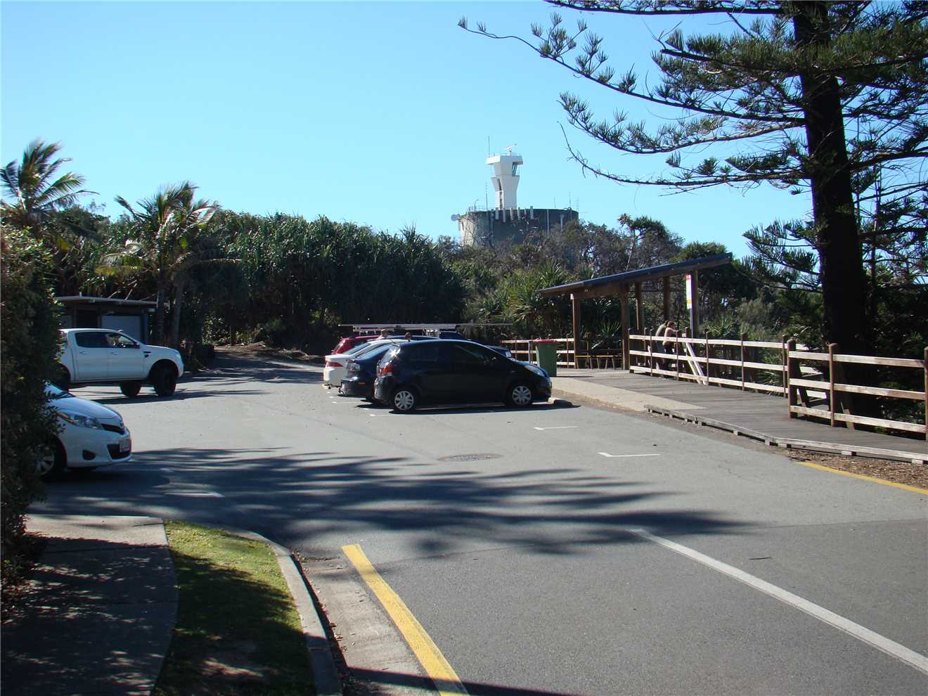
Photo 25
This is the Lighthouse carpark.
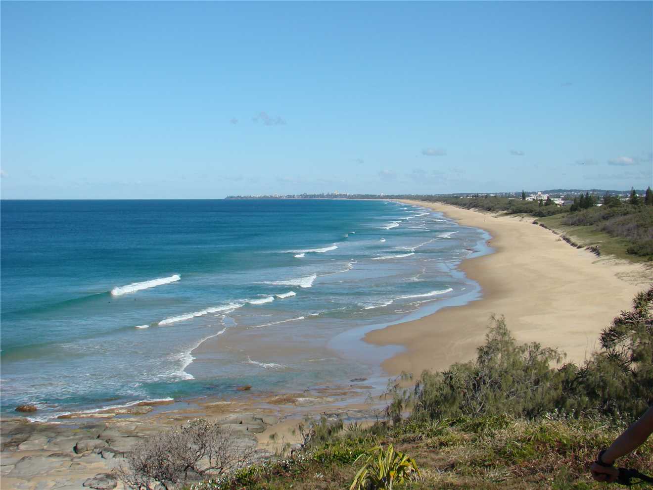
Photo 26
This is the Lighthouse area where I take my photos.
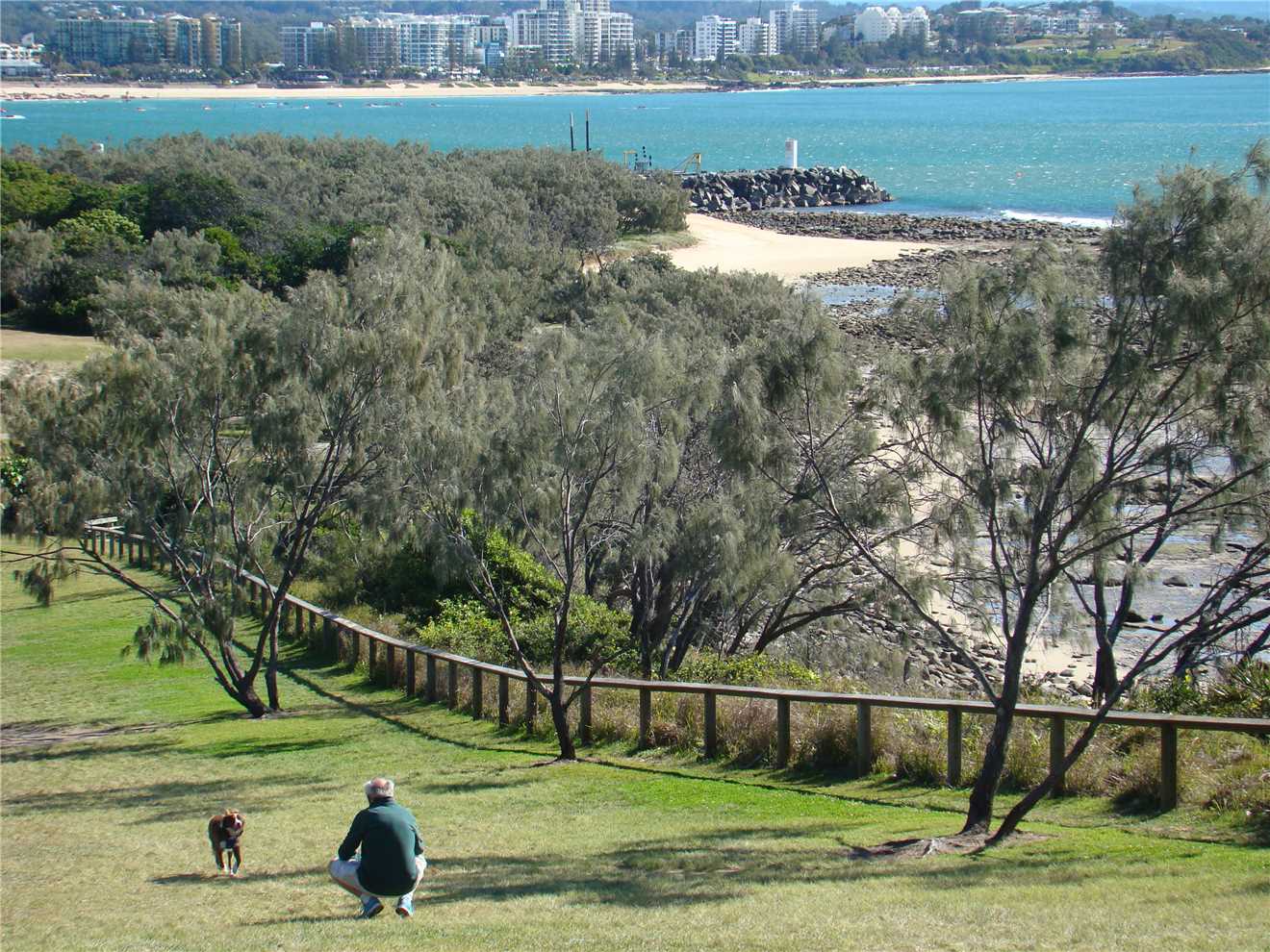
Photo 27
Down the hill and around to the Spit.
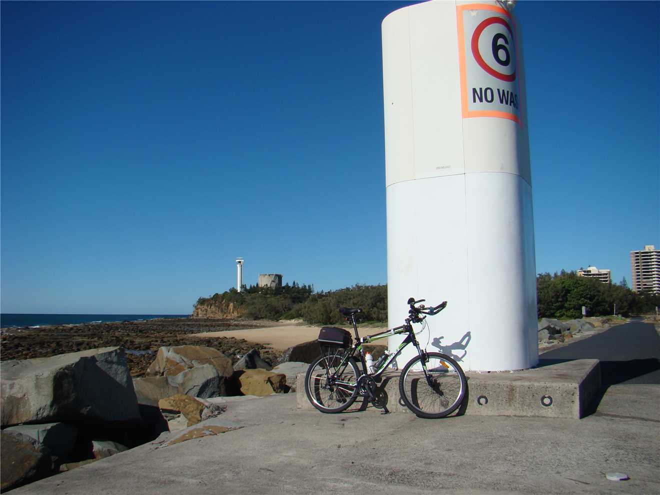
Photo 28
The Beacon at the Spit.